
 England
The Port Way (or Portway) is a 58 km ancient road in southern England connecting Calleva Atrebatum (Silchester) to Sorbiodunum (Old Sarum), possibly predating the Roman occupation. During Roman rule it formed part of the trunk route between Londinium and Isca Dumnoniorum (Exeter). Archaeological excavations near St Mary Bourne revealed the road was 24 feet wide with metalling 4-8 inches below the surface. The Anglo-Saxon name refers to a road between market towns, and much of the route can still be traced today.
Port Way
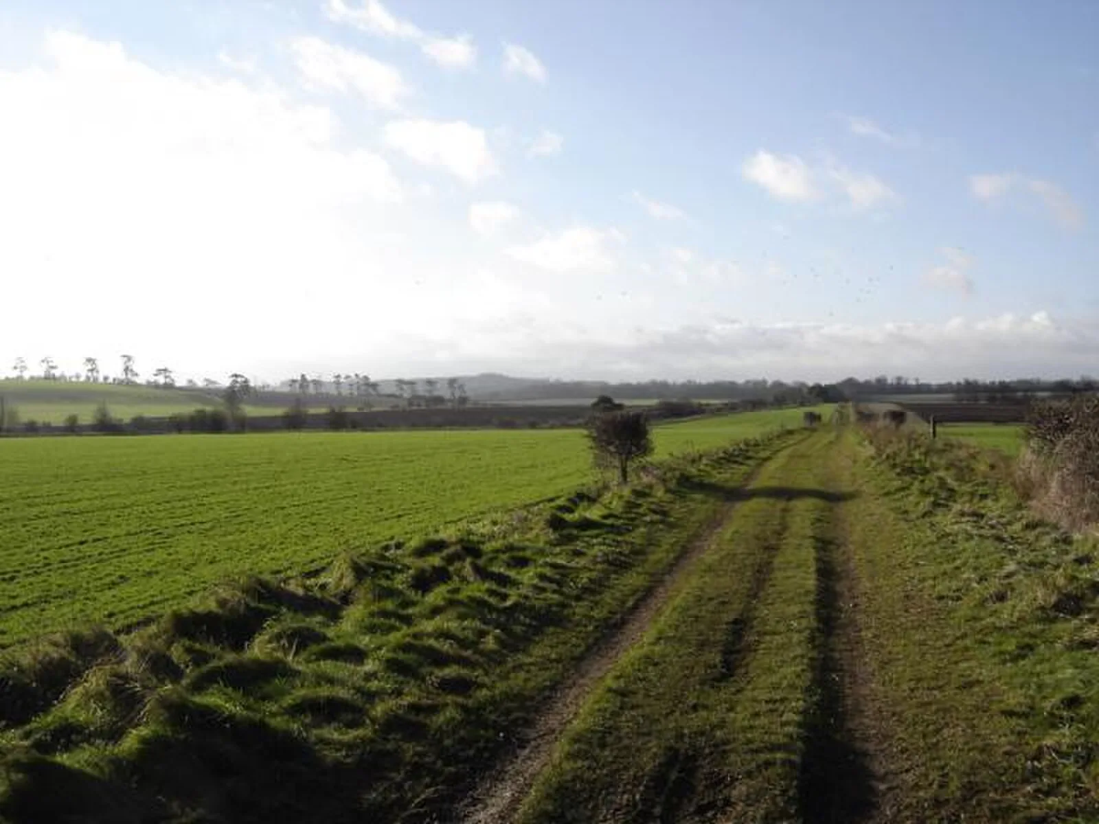
Also known as: Portway, via Calleva Atrebatum-Durnovaria
| Type | Road/avenue/trackway |
|---|---|
| Period | 1 - 500 AD |
| Country | England |
| Coordinates | 51.1700° N, 1.6338° W |