
 Azerbaijan
A 1st or 2nd century-related settlement with an area of ca. 30 ha and a cemetery are near Qalagah [1]. In 1899 a silver plate (24 cm in diameter) was also accidentally found during excavations near the village [1]. The plate depicts a mounted Nereid, surrounded by tritons and cupids [1]. Based on its technique and artistic characteristics, the plate is a 2nd or 3rd century example of Roman toreutics [1]. The artifact was sent to the Imperial Archaeological Commission, then to the Hermitage Museum [1].
Text: Wikipedia – 'Qalagah' (revision of 2026-09-01), CC BY-SA 4.0 · sentences selected and shortened by an AI system · source →Qalagah
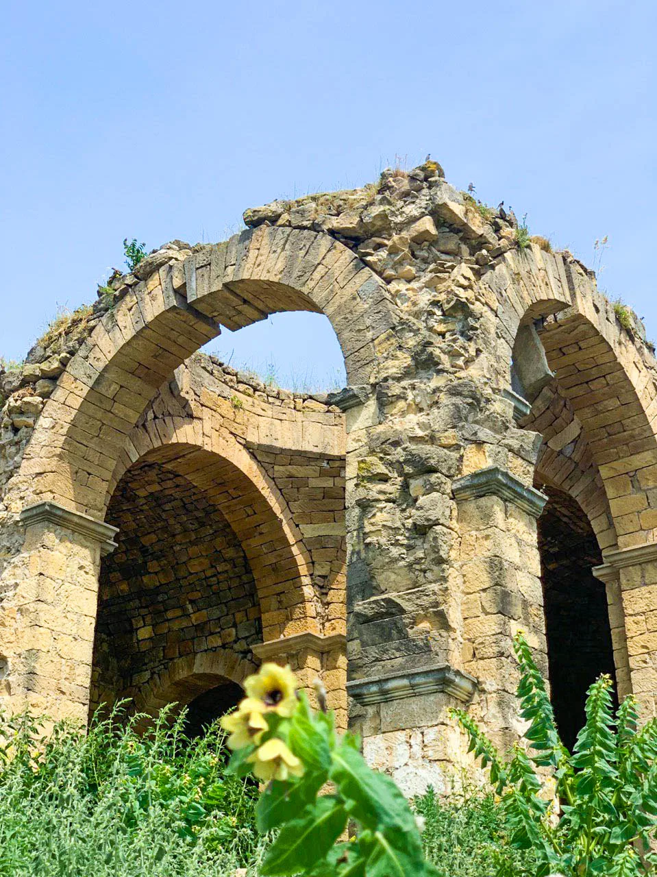
Also known as: Qalagah (İsmayıllı), Галага, Галагагь (Исмаиллы район), Галагах, Галагах (Исмаиллинский район), ГалагахӀ (Исмаиллин кӀошт), Галагаһ (Исмаеллы), Калага, Калагах, ყალაგაჰი, ყალაგაჰი (ისმაილი), قالاگاه (ایسماعیللی)
| Type | City/town/settlement |
|---|---|
| Period | 1 - 500 AD |
| Country | Azerbaijan |
| Coordinates | 40.7171° N, 47.9325° E |