
 Azerbaijan
Alikomektepe is located on the right bank of Incechay river, near Uchtepe village of Jalilabad district [1]. The thickness of the cultural layer is 5.1 m [1]. During the excavation, it was determined that there are six construction layers [1]. The walls in the lower building layers were built from a series of clay bricks and reinforced with plasters [1]. The buildings on the upper floors of the settlement were square-shaped and built with one or two rows of clay bricks [1]. In the upper levels, there is also pottery of the northern Ubaid period type [1]. More than 300 samples of painted pottery covered with monochrome drawings were found [1].
Text: Wikipedia – 'Alikomektepe' (revision of 2026-07-18), CC BY-SA 4.0 · sentences selected and shortened by an AI system · source →Alikomektepe
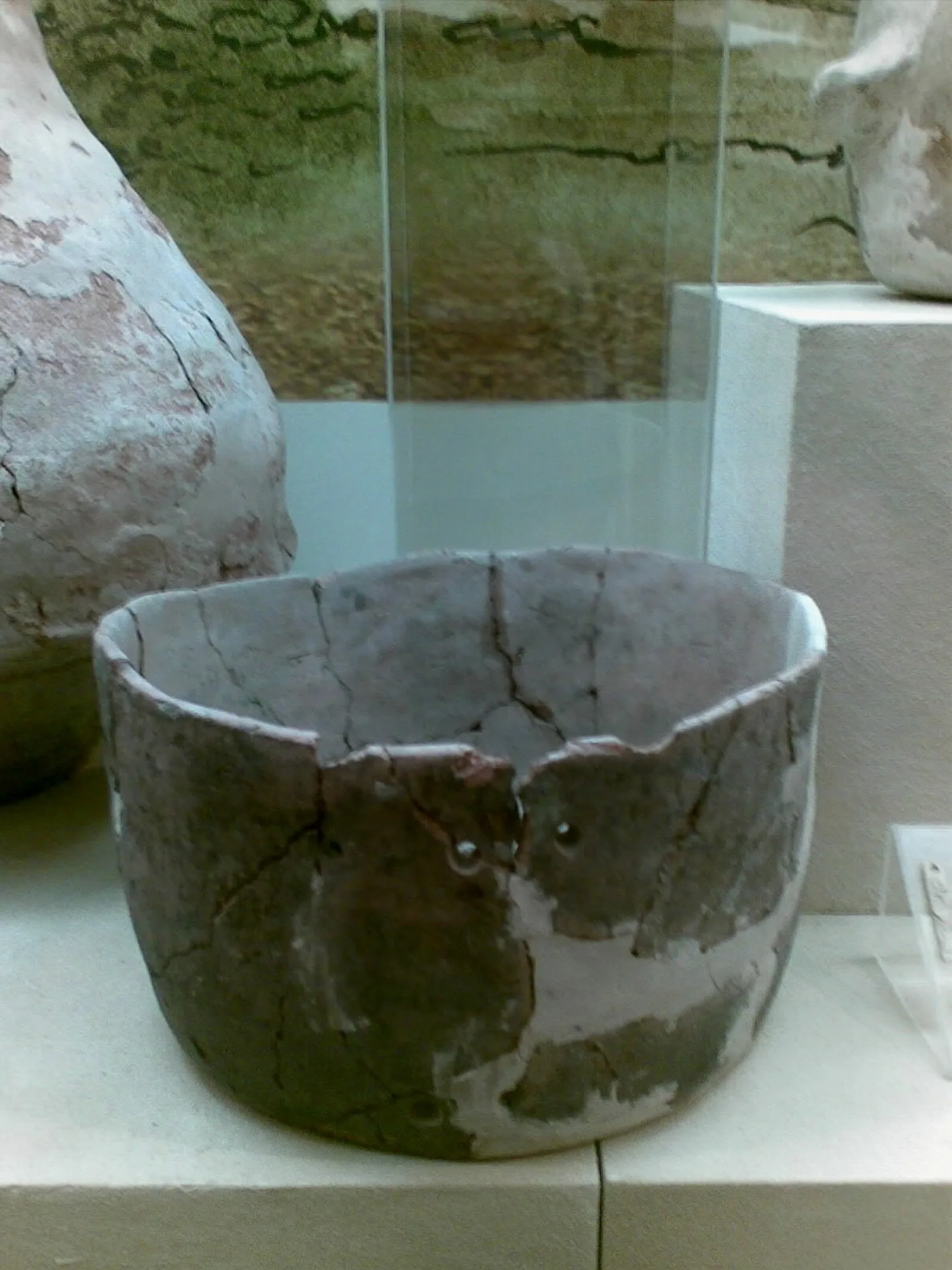
Also known as: Alikemek Tepesi, Əliköməktəpə, Əliköməktəpə yaşayış yeri, Аликомектепе, ალიქომექთეფე
| Type | Settlement |
|---|---|
| Period | < 4500 BC |
| Country | Azerbaijan |
| Coordinates | 39.3372° N, 48.4275° E |