Wat's Dyke

Wat's Dyke
Paul0559 · Public domain

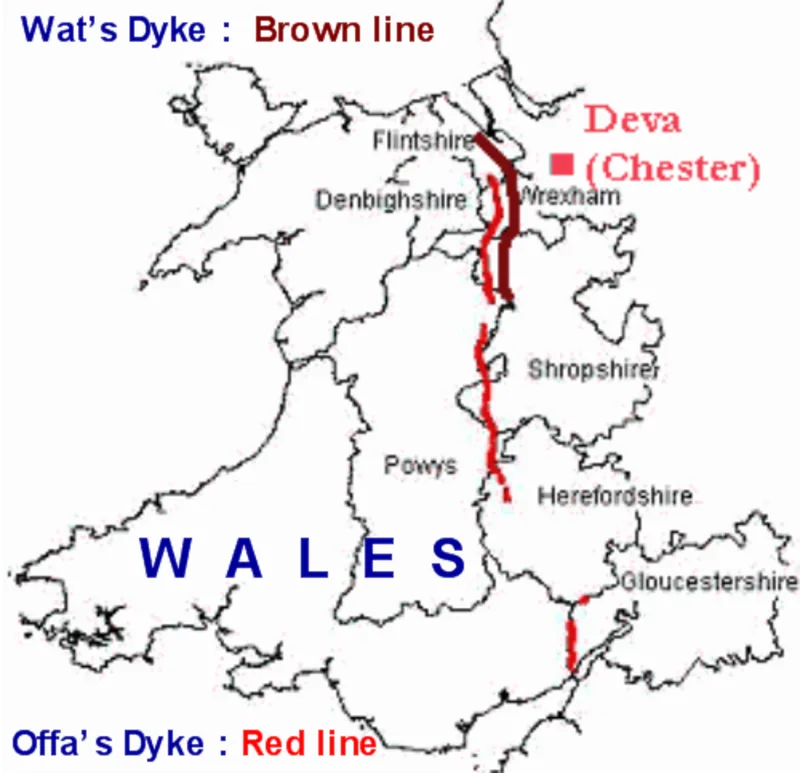
(1st–9th c. AD) Wat's Dyke is a 40-mile (64 km) linear earthwork in the northern Welsh Marches, running from Basingwerk Abbey on the River Dee estuary east of Oswestry to Maesbury in Shropshire [1]. It runs parallel to Offa's Dyke, never more than 5 km (3 mi) away and sometimes within a few yards [1]. Although now appearing as a raised hedgerow or cropmark with the ditch filled and bank ploughed away, it was originally a substantial construction and is considered strategically more sophisticated than Offa's Dyke [1]. Its construction date remains disputed, ranging from the sub-Roman period to the early ninth century [1].

TypeEarthwork
Period1 - 500 AD
CountryEngland
Coordinates52.9868° N, 3.0286° W

Related resources

More sites in England

Old Oswestry · Heronbridge Roman Site · Minerva's Shrine, Chester · Thirty-nine (39) Bridge Street, Chester · Bridge Street Number 39, Chester · Deva Victrix · Rykeneld Street · Chester Roman Amphitheatre · Maiden Castle, Cheshire · Caus Castle · Helsby Hill Fort · Welsh Road · Kelsborrow Castle · Hoarstones · Stapeley Hill · Mitchell's Fold Stone Circle · Bayston Hill · Woodhouse Hill Fort · Bury Walls · Eddisbury Hill Fort · Oakmere Hill Fort · Bradley Hill Fort · Wroxeter Stone · Viroconium Cornoviorum

All sites in England

Was this page useful?

Keep exploring

Every site on this page sits on the globe, and the people who research them are on the Discord.

3D Globe · Sites by country · Story Archive · Research Library · Weekly Journal · Search