Fleam Dyke

Fleam Dyke
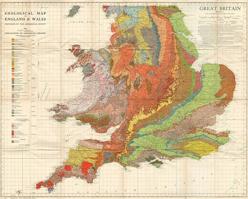
W.F.P McLintock, Director · Public domain

Fleam Dyke is a linear earthwork spanning 4.8 km (3 mi) between Fulbourn and Balsham in Cambridgeshire, constructed between AD 330 and 510 [1]. The earthwork rises 7 metres high from ditch to bank, with its west-facing ditch suggesting construction by invading Saxons as a defensive barrier [1]. In the later Anglo-Saxon period, it served as the boundary of the Flendish Hundred administrative division [1]. Near Mutlow Hill, the earthwork passes a Bronze Age burial mound dating to approximately 2000 BC [1].

TypeEarthwork
Period1 - 500 AD
CountryEngland
Coordinates52.1601° N, 0.2660° E

Related resources

More sites in England

Wandlebury Hill Fort · Wandlebury Hill · Gog Magog Hills · Bartlow Hills · Borough Hill, Sawston · Leper Stone · Belsar's Hill · Goffers Knoll · Stane Street, Colchester · Portingbury Hills · Burnt Fen · Clare, Suffolk · Braughing - Roman Town · Stonea Camp · Ashwell, Hertfordshire · Arbury Banks, Hertfordshire · Fen Causeway · The Warbanks · Chelmsford · Foxholes, Hertford · Ambresbury Banks · Grime's Graves · Lynford Quarry · South Weald Camp

All sites in England

Was this page useful?

Keep exploring

Every site on this page sits on the globe, and the people who research them are on the Discord.

3D Globe · Sites by country · Story Archive · Research Library · Weekly Journal · Search