
 England
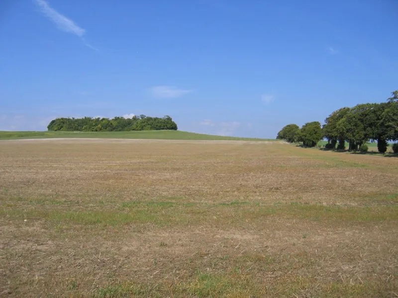
Goffers Knoll is a prominent knoll on the Hertfordshire-Cambridgeshire border in the east of England, to the east of the town of Royston and south of Melbourn [1]. Hidden within the copse of trees which surmounts the knoll is a bowl barrow which dates from the Bronze Age and is reported to be substantially intact [1]. It is a scheduled ancient monument [1]. The barrow is 21m in diameter and stands some 1.5m in height above ground level [1]. In the absence of trees, the barrow would be a prominent landmark overlooking the ancient Icknield way and the low-lying land towards Duxford and Cambridge [1]. Excavations of the barrow were carried out by RC Neville in the mid 19th Century and again around 1920 [1].
Text: Wikipedia – 'Goffers Knoll' (revision of 2025-01-18), CC BY-SA 4.0 · sentences selected and shortened by an AI system · source →Goffers Knoll
| Type | Barrow |
|---|---|
| Period | 4500 - 3000 BC |
| Country | England |
| Coordinates | 52.0626° N, 0.0289° E |