
 England
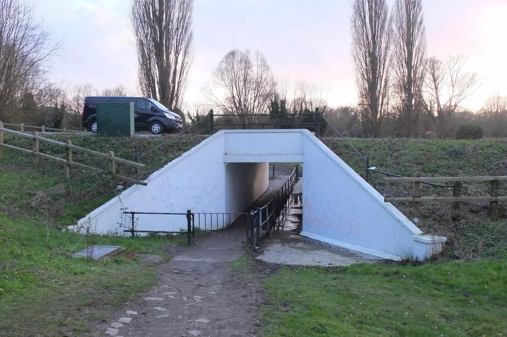
Fen Causeway or the Fen Road is the modern name for a Roman road of England that runs between Denver, Norfolk in the east and Peterborough in the west [1]. Its path covers 24 miles, passing March and Eldernell before joining the major Roman north–south route Ermine Street west of modern-day Peterborough [1]. It provided a link from the north and west of England to East Anglia [1]. The road is thought to have been raised above the marshy fens using gravel, with a width of up to 60 feet [1]. Towards its western end it is close to the Bronze Age route across Flag Fen [1].
Text: Wikipedia – 'Fen Causeway' (revision of 2025-02-15), CC BY-SA 4.0 · sentences selected and shortened by an AI system · source →Fen Causeway
| Type | Road/avenue/trackway |
|---|---|
| Period | 1 - 500 AD |
| Country | England |
| Coordinates | 52.5668° N, 0.0666° E |