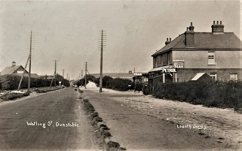
Watling Street

Watling Street
Mark Crombie · Public domain

Watling Street is a historic route in England running from Dover and London in the southeast, via St Albans to Wroxeter [1]. The road crosses the River Thames at London and was used in Classical Antiquity, Late Antiquity, and throughout the Middle Ages [1]. It was originally used by ancient Britons before being paved as one of the main Roman roads in Britannia [1]. The line of the road later became the southwestern border of the Danelaw with Wessex and Mercia and was numbered among the major highways of medieval England [1].

TypeRoad/avenue/trackway
Period3000 - 1500 BC
CountryEngland
Coordinates51.5388° N, 0.1376° W

Related resources

More sites in England

Ludgate · Newgate · Aldersgate · Cripplegate · Fortifications of London · Amphitheatre, London · Moorgate · Devil's Highway - Roman Britain · London Mithraeum · Bishopsgate · Billingsgate Roman House and Baths · London Wall · Aldgate · Richmond Park · Loughton Camp · Grim's Ditch, Harrow · Keston Roman Villa · Ambresbury Banks · Foxholes, Hertford · Crofton Roman Villa · Roman Theatre, St Albans · Welwyn Roman Baths · Beech Bottom Dyke · Verulamium

All sites in England

Was this page useful?

Keep exploring

Every site on this page sits on the globe, and the people who research them are on the Discord.

3D Globe · Sites by country · Story Archive · Research Library · Weekly Journal · Search