
 England
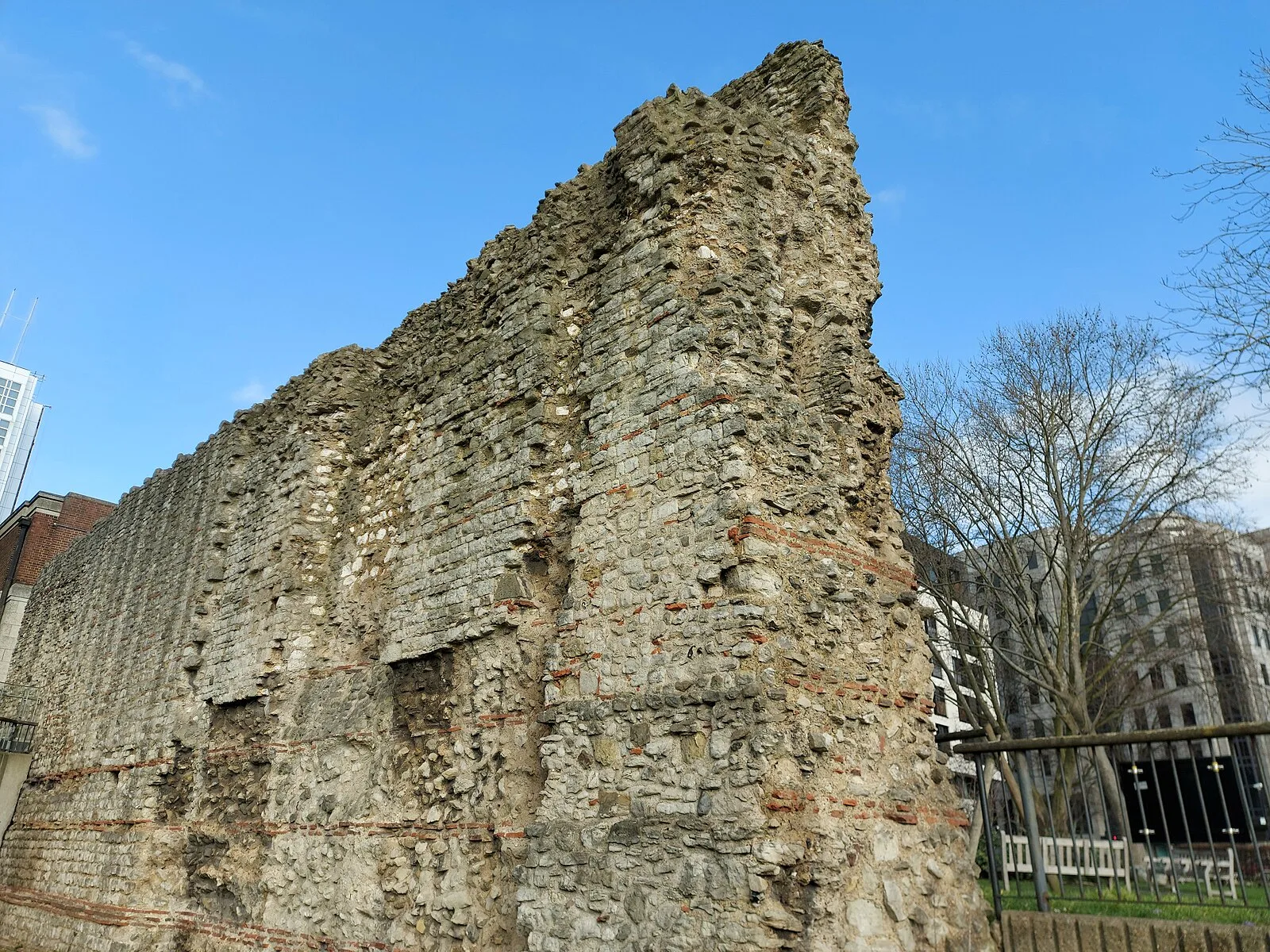
The London Wall is a defensive wall first built by the Romans around the strategically important port town of Londinium in c. AD 200, as well as the name of a modern street in the City of London, England [1]. The original gates, clockwise from Ludgate in the west to Aldgate in the east, were: Ludgate, Newgate, Cripplegate, Bishopsgate and Aldgate [1]. Aldersgate, between Newgate and Cripplegate, was added around 350 [1]. The length and size of the wall made it one of the biggest construction projects in Roman Britain [1]. It had gateways, towers and defensive ditches, and was built from Kentish ragstone, which was brought by barge from quarries near Maidstone [1]. The city walls of London were repaired as the city slowly grew until about 950 when urban activity increased dramatically [1]. During the early medieval period – following the Norman Conquest of England – the walls underwent substantial work that included crenellations, additional gates and further towers and bastions [1].
Text: Wikipedia – 'London Wall' (revision of 2026-08-12), CC BY-SA 4.0 · sentences selected and shortened by an AI system · source →London Wall
Also known as: 런던 월, 런던 성곽, Londoni linnamüür, londonsko obzidje, Londons stadsmur, Londra Duvarı, Londýnské hradby, Lontoon muuri, Moenia Londinium, Muralha de Londres, Muralla de Londres, mur de Londres
| Type | Wall |
|---|---|
| Period | 1 - 500 AD |
| Country | England |
| Coordinates | 51.5101° N, 0.0800° W |