
 England
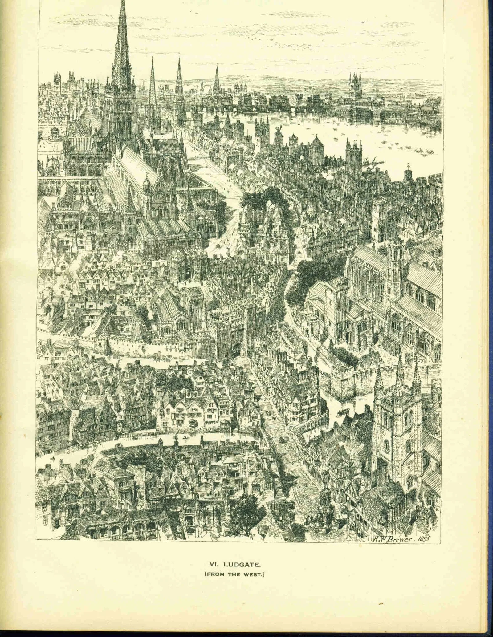
Ludgate was the westernmost gate in London Wall [1]. According to legend, recorded by the Norman-Welsh cleric Geoffrey of Monmouth, Ludgate was named after the ancient British King Lud [1]. Ludgate is believed to have been one of four original gates in the Roman London Wall, work on which started in 190 AD [1]. In February 1554, Ludgate was the final setting of Wyatt's rebellion, when Sir Thomas Wyatt the Younger arrived at the gate with part of his army numbering three or four hundred men [1]. Ludgate was rebuilt in 1586 to the design of William Kerwin; niches in the facade were furnished with statues of Queen Elizabeth I and King Lud with his two sons; these statues replaced medieval ones that had been defaced by Protestant iconoclasts during the reign of King Edward VI [1].
Text: Wikipedia – 'Ludgate' (revision of 2026-08-04), CC BY-SA 4.0 · sentences selected and shortened by an AI system · source →Ludgate
Also known as: Luddi Porta, Ludgate (Stadttor), לדגייט, ラドゲート, 勒德门
| Type | Gate/archway/bridge |
|---|---|
| Period | 1 - 500 AD |
| Country | England |
| Coordinates | 51.5141° N, 0.1023° W |