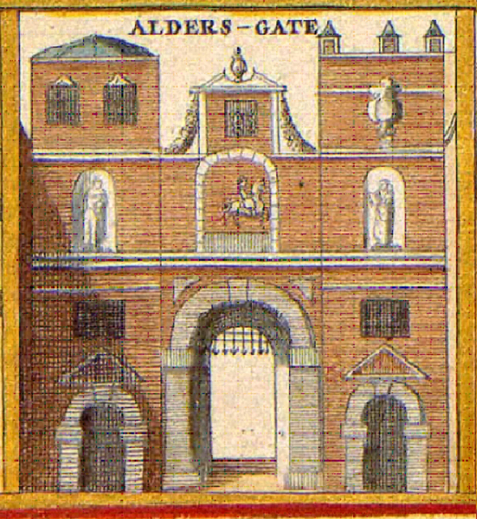
Aldersgate

Aldersgate
Anonymous cartographer/etcher[1]; From University of Toronto Wenceslaus Hollar Digital Collection. Scanned by University of Toronto. High-resolution version extracted using custom tool by User:Dr_Sach... · Public domain

Also known as: Ealdredesgeat, Ward of Aldersgate, الڈرس گیٹ, アルダーズゲート, 參事門, 奧德斯門

Aldersgate is an area in the City of London named after a Roman-era gate on the northern side of the London Wall [1] [2]. The ward was traditionally divided into Aldersgate Within and Aldersgate Without, denoting areas inside and outside the wall respectively [1]. The gate's name derives from Old English [1] [3]. The original Roman gate was rebuilt and later demolished in the 18th century [1] [2] [3]. Ward boundaries were reorganised in 2013, though the historic names remain [1].

TypeGate
Period1 - 500 AD
CountryEngland
Coordinates51.5176° N, 0.0972° W

Related resources

More sites in England

Cripplegate · Newgate · Fortifications of London · Amphitheatre, London · Ludgate · Devil's Highway - Roman Britain · London Mithraeum · Moorgate · Bishopsgate · Billingsgate Roman House and Baths · London Wall · Aldgate · Watling Street · Richmond Park · Loughton Camp · Keston Roman Villa · Crofton Roman Villa · Ambresbury Banks · Foxholes, Hertford · Grim's Ditch, Harrow · Pilgrims' Way · Harrow Way · Welwyn Roman Baths · Lullingstone Roman Villa

All sites in England →

Was this page useful?

Keep exploring

Every site on this page sits on the globe, and the people who research them are on the Discord.

3D Globe · Sites by country · Story Archive · Research Library · Weekly Journal · Search