Upper Plym Valley

Upper Plym Valley
Richard Knights · CC BY-SA 2.0

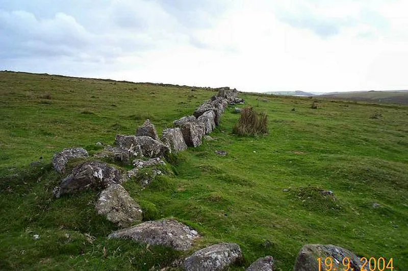
The Upper Plym Valley is a 15.5 km² archaeological landscape on Dartmoor, Devon, England, containing approximately 300 prehistoric and medieval sites [1]. Notable prehistoric sites include the Drizzlecombe stone rows and cairns, while later features include Eylesbarrow Mine [1].

TypeCity/town/settlement
Period< 4500 BC
CountryEngland
Coordinates50.4791° N, 3.9880° W

Related resources

More sites in England

Drizzlecombe · Yellowmead Stone Circle · Brisworthy Stone Circle · Ringmoor Stone Row and Cairn Circle · Dewerstone · Stalldown Barrow · Boringdon Camp · Merrivale, Devon · Wasteberry Camp · Holbury, Holbeton · Brent Hill · Grey Wethers · Yellowberries Copse · Hembury Castle, Buckfast · Holne Chase Castle · Shovel Down · Grimspound · Scorhill Stone Circle · Yarrowbury · Blackdown Rings · Burley Wood · Hound Tor · Nine Maidens Stone Circle · Hundatorra

All sites in England

Was this page useful?

Keep exploring

Every site on this page sits on the globe, and the people who research them are on the Discord.

3D Globe · Sites by country · Story Archive · Research Library · Weekly Journal · Search