
 England
Wimble Toot is a burial mound or, possibly, a motte built near the village of Babcary, Somerset [1]. It is a scheduled ancient monument with a list entry number of 1015279 [1]. Today the site forms a circular earthwork, 27.47 metres across and 2.74 metres high, with a ditch on the north-west and south-east sides, on the top of a ridge, overlooking a brook which runs into the River Cary and the old Roman road of the Fosse Way [1]. In Roman times, Wimble Toot was situated at a crossroads [1].
Text: Wikipedia – 'Wimble Toot' (revision of 2026-07-19), CC BY-SA 4.0 · sentences selected and shortened by an AI system · source →Wimble Toot
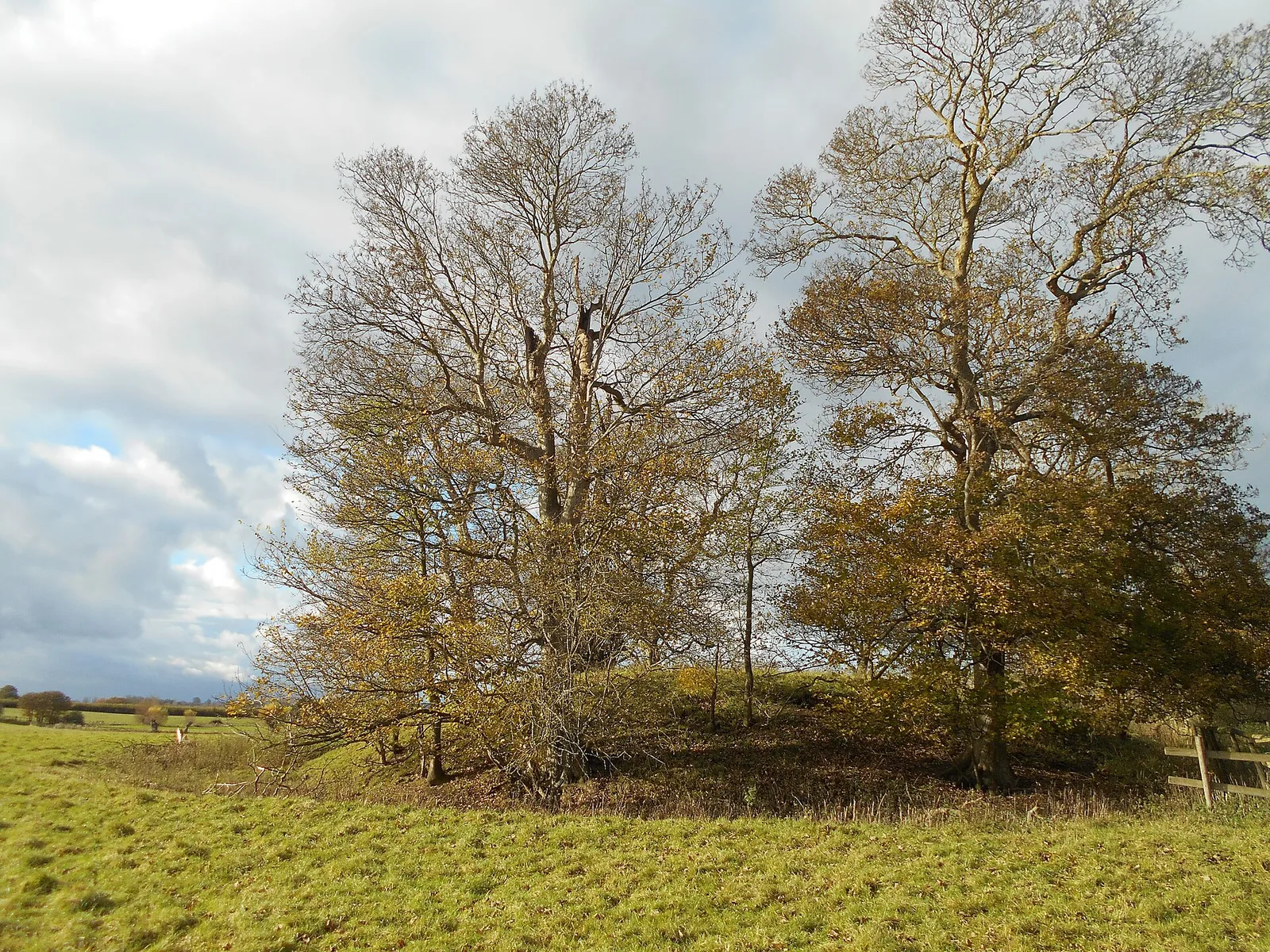
Also known as: Bowl barrow known as `Wimble Toot', Wimble Toot Castle
| Type | Earthwork |
|---|---|
| Period | 4500 - 3000 BC |
| Country | England |
| Coordinates | 51.0498° N, 2.6291° W |