
 England
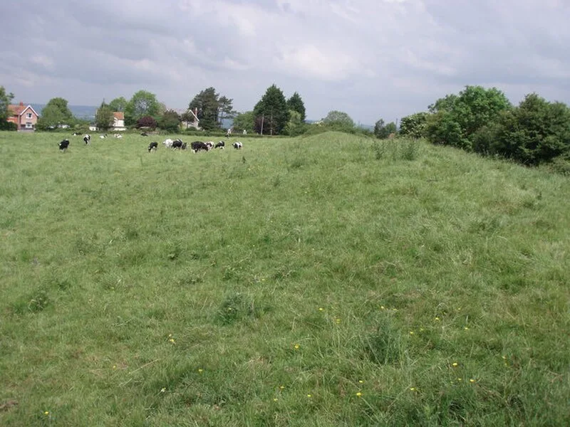
Ponter's Ball Dyke is a linear earthwork located near Glastonbury in Somerset [1]. It crosses, at right angles, an ancient road that continues on to the former island of dry land in the Somerset levels surrounding Glastonbury Tor [1]. It consists of an embankment with a ditch on the east side [1]. It is built across the ridge of land between Glastonbury and West Pennard [1]. Both ends of the ditch and dyke disappear into moorland, formerly swamps [1]. The current visible remains extend to just over 1 kilometre [1]. The gap where the road runs through the dyke is staggered, suggesting that the gap is original [1].
Text: Wikipedia – 'Ponter's Ball Dyke' (revision of 2026-08-06), CC BY-SA 4.0 · sentences selected and shortened by an AI system · source →Ponter's Ball Dyke
Also known as: 庞特球堤
| Type | Earthwork |
|---|---|
| Period | 4500 - 3000 BC |
| Country | England |
| Coordinates | 51.1382° N, 2.6681° W |