
 England
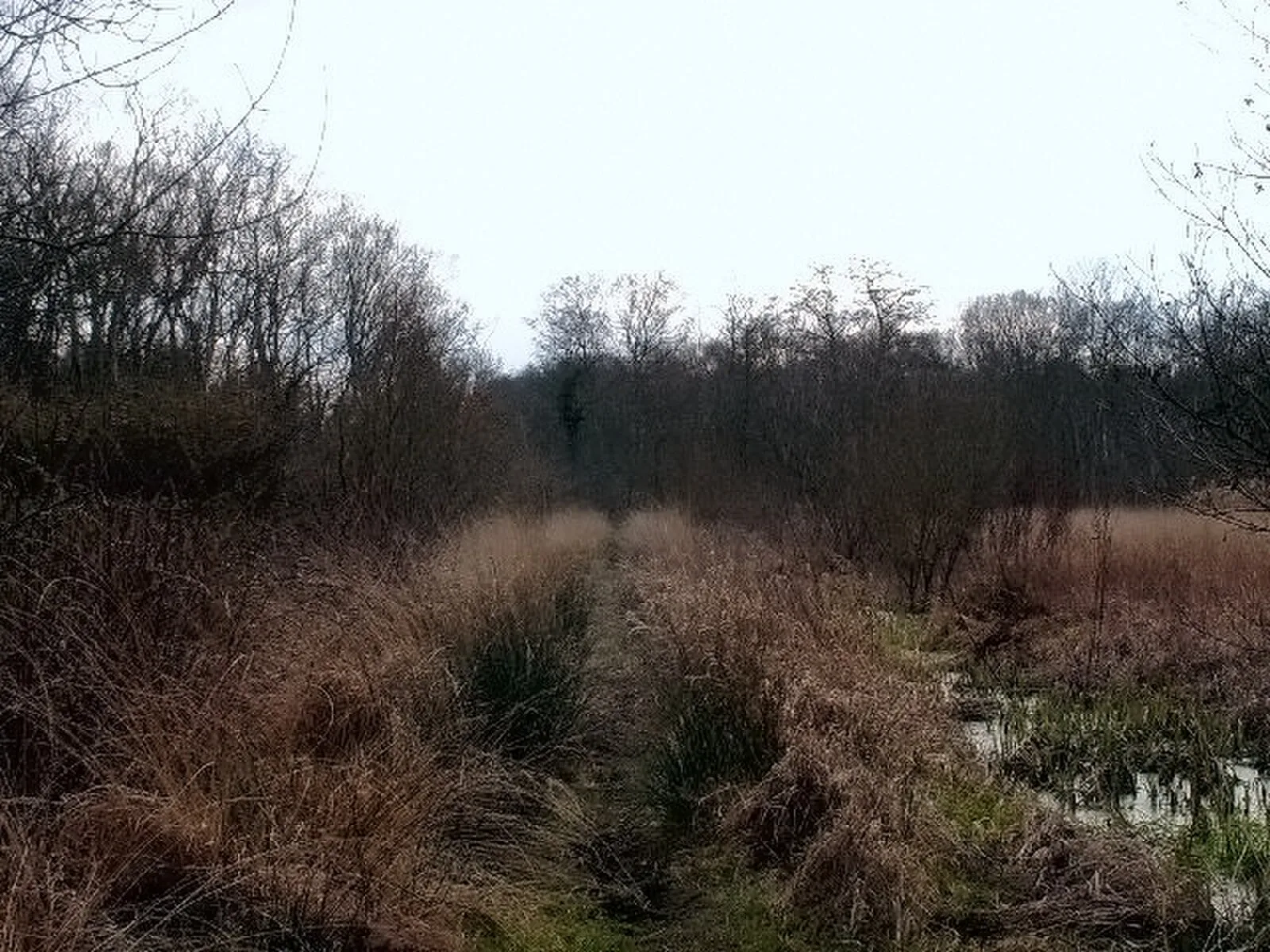
The Sweet Track is an ancient trackway, or causeway, in the Somerset Levels, England, named after its finder, Ray Sweet [1]. The Sweet Track was predominantly built along the course of an earlier structure, the Post Track [1]. The track extended across the now largely drained marsh between what was then an island at Westhay and a ridge of high ground at Shapwick, a distance close to 1,800 metres or around 1.1 mi [1]. Various artifacts and prehistoric finds, including a jadeitite ceremonial axe head, have been found in the peat bogs along its length [1]. The track was used for a period of only around ten years and was then abandoned, probably due to rising water levels [1]. The track was discovered in 1970 during peat excavations and is named after its finder, Ray Sweet [1]. Built in 3807 or 3806 BC, the track was a walkway consisting mainly of planks of oak laid end-to-end, supported by crossed pegs of ash, oak, and lime, driven into the underlying peat [1].
Text: Wikipedia – 'Sweet Track' (revision of 2026-07-22), CC BY-SA 4.0 · sentences selected and shortened by an AI system · source →Sweet Track
Also known as: Poteca Sweet, Sweet Causeway, Свит-Трек, Світ-Трек, Սուիթ Թրաք, سویت ترک, ممر الحلو, 斯威特古道
| Type | Road/avenue/trackway |
|---|---|
| Period | 4500 - 3000 BC |
| Country | England |
| Coordinates | 51.1642° N, 2.8264° W |