
 England
Wade's Causeway is a Roman road, or possibly a Neolithic structure, located in the North York Moors national park in North Yorkshire, England [1]. The structure has been the subject of local folklore for several hundred years and possibly for more than a millennium [1]. Its construction was commonly attributed to a giant known as Wade, a figure from Germanic mythology [1]. The stretch of the causeway on Wheeldale Moor was cleared of vegetation and excavated in the early twentieth century by a local gamekeeper interested in archaeology [1]. The first modern written record that unquestionably relates to the Wheeldale structure was in 1720 by the antiquarian John Warburton [1].
Text: Wikipedia – 'Wade's Causeway' (revision of 2026-09-17), CC BY-SA 4.0 · sentences selected and shortened by an AI system · source →Wade's Causeway
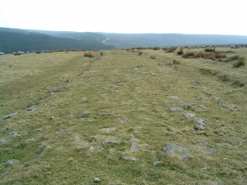
Also known as: Wheeldale Roman Road, 韋德道
| Type | Road/avenue/trackway |
|---|---|
| Period | 4500 - 3000 BC |
| Country | England |
| Coordinates | 54.3707° N, 0.7591° W |