
 England
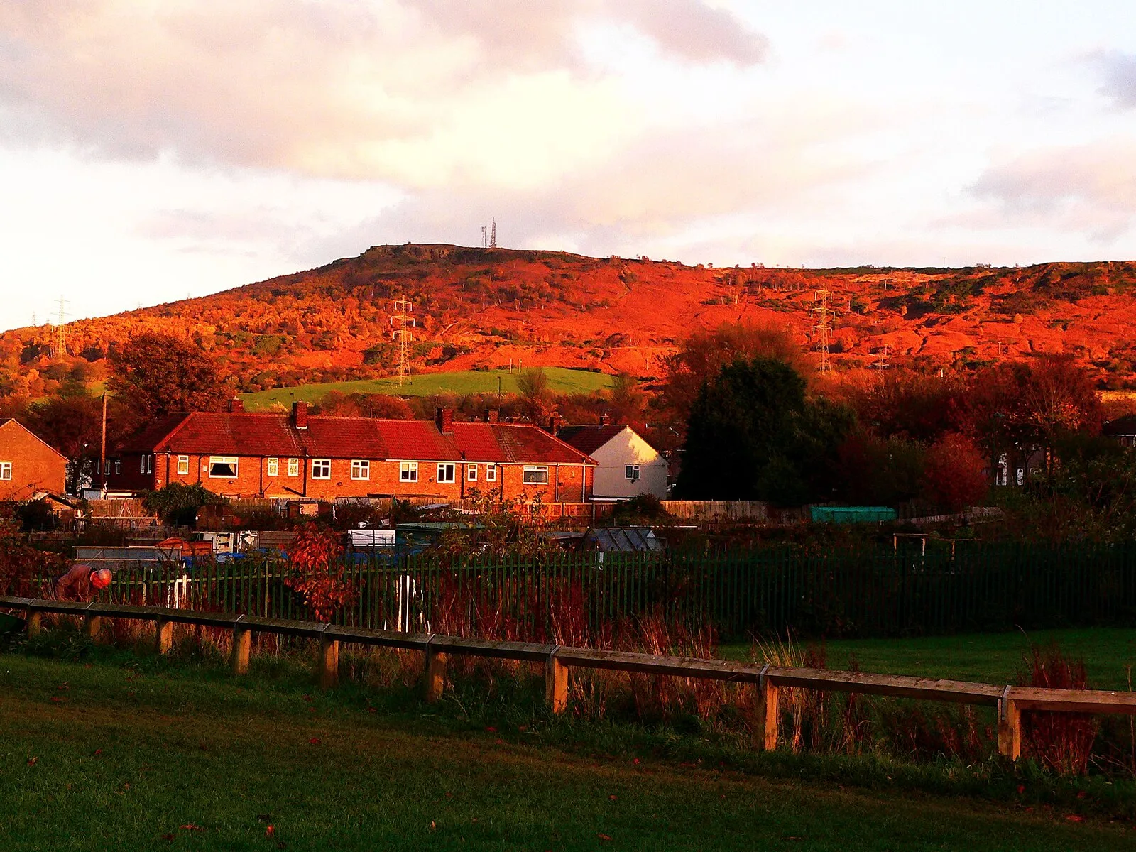
A nab is a rocky promontory, and Eston Nab, marking the highest point – at 242 metres – on the escarpment which forms Eston Hills, appears as a clear sandstone cliff on the northernmost edge of Eston Moor [1]. It overlooks the town of Eston, which is part of Redcar and Cleveland [1]. It is the site of Bronze Age burial mounds and an Iron Age hill fort [1]. Frank Elgee, curator of the Dorman Museum, Middlesbrough, in 1927, uncovered parts of an earthenware cremation urn, together with burnt bone and flint [1]. These possibly dated from 1800 BC [1]. There was a substantial Iron Age hill fort at Eston Nab [1]. Boulder walls and ditches are still visible even though they were built in around 700 BC [1].
Text: Wikipedia – 'Eston Nab' (revision of 2026-05-23), CC BY-SA 4.0 · sentences selected and shortened by an AI system · source →Eston Nab
| Type | Fort |
|---|---|
| Period | 1500 - 500 BC |
| Country | England |
| Coordinates | 54.5573° N, 1.1224° W |