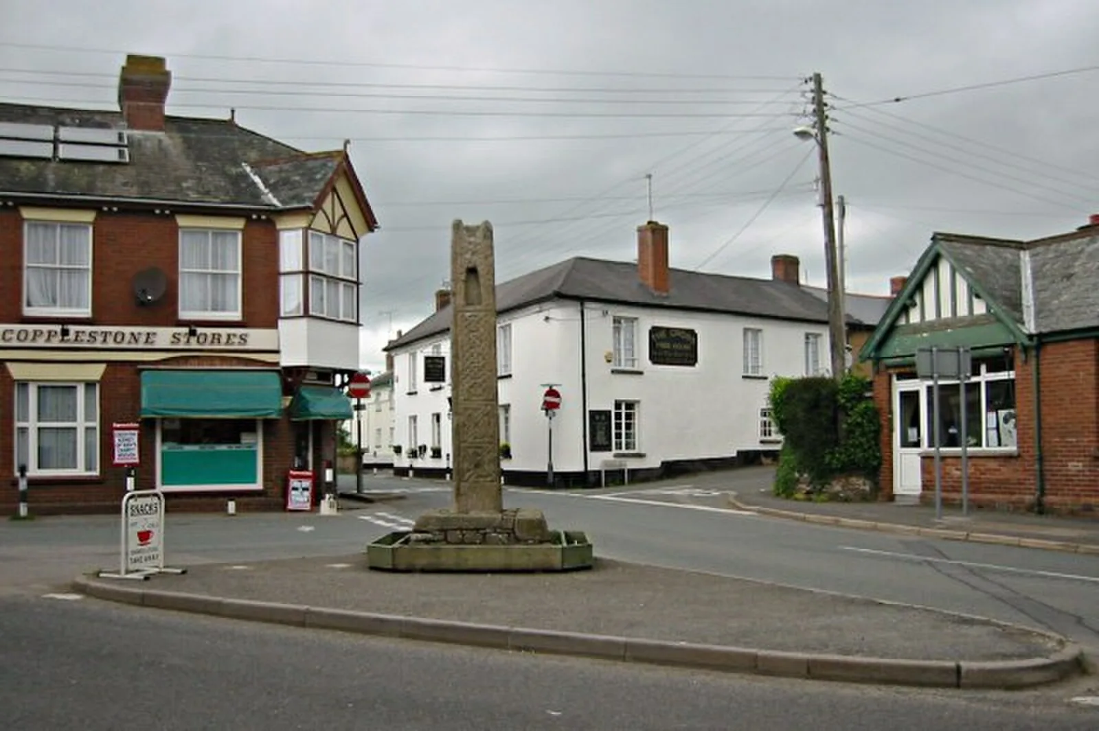
Colebrooke, Devon

Colebrooke, Devon
Geof Sheppard · CC BY-SA 4.0

Colebrooke is a village and parish in Devon, England, about 5 miles (8 km) west of Crediton[1]. The site is notable for remains of a Roman road agger visible in a field roughly 300 metres south of Rag Lane, east of Five Acre Copse[2]. This road maintained its route from North Tawton, becoming less distinct at Colebrooke, though a straight lane along the ridge east of the railway suggests its original line[2]. Colebrooke is believed to be the location of a Roman settlement, though documentation is fragmentary[3].

TypeCity/town/settlement
Period1 - 500 AD
CountryEngland
Coordinates50.7866° N, 3.7462° W

More sites in England

Posbury Hill Fort · Berry Castle, Black Dog · Wooston Castle · Prestonbury Castle · Lapford · Cranbrook Castle · Spinsters' Rock · North Tawton · Hunter's Tor, Lustleigh Cleave · Cotley Castle · Hundatorra · Hound Tor · Grimspound · Scorhill Stone Circle · Raddon Top · Shovel Down · Ide, Devon · Cadbury Castle, Devon · Fosse Way · Isca Dumnoniorum · Stoke Hill · Nine Maidens Stone Circle · Grey Wethers · Holne Chase Castle

All sites in England

Keep exploring

Every site on this page sits on the globe, and the people who research them are on the Discord.

3D Globe · Sites by country · Story Archive · Research Library · Weekly Journal · Search