
 England
Portus Lemanis, also known as Lemanae, was the Latin name of a Roman Saxon Shore fort, settlement and port in southern Kent [1]. The first documentary mention of the site is found in the late 3rd-century Antonine Itinerary [1]. According to the 5th-century Notitia Dignitatum, the fort was garrisoned by a regiment raised in Tournai and formed part of a defence system known as the Saxon Shore under the command of a Count [1]. The last mention of Lemanis in Latin sources is in the late 7th-century Ravenna Cosmography, by which time the site, along with the rest of Britain, had long been severed from the Roman Empire [1]. The fort stood on a hill overlooking a reach of sea which has since been drained to form the Romney Marsh [1]. The construction of the Saxon Shore-era fort can be dated to the late 270s, as is evidenced by its late-style characteristics [1]. The southern side of the fort is wholly missing, and elsewhere the remains have been moved at various angles, while little evidence of interior structures (remains of a bath and possibly the principia) survives [1].
Text: Wikipedia – 'Portus Lemanis' (revision of 2026-09-21), CC BY-SA 4.0 · sentences selected and shortened by an AI system · source →Portus Lemanis
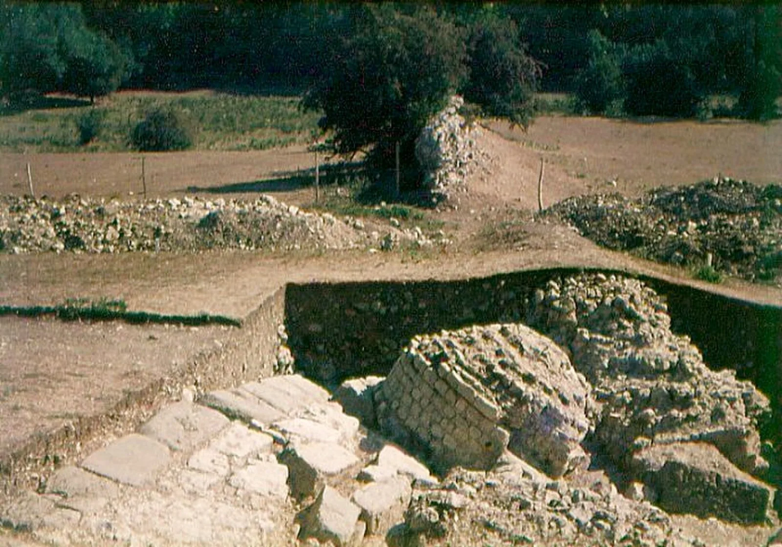
Also known as: Castra Lemanis, Lemanae Portus, Lemanis Portis, Lemanis Portus, Lympne Roman fort, Saxon Shore fort now called Stutfall Castle, 468m south-west of St Stephen's Church, Stutfall Castle, Портус Леманис
| Type | Fortress/citadel |
|---|---|
| Period | Undated |
| Country | England |
| Coordinates | 51.0684° N, 1.0208° E |