
 England
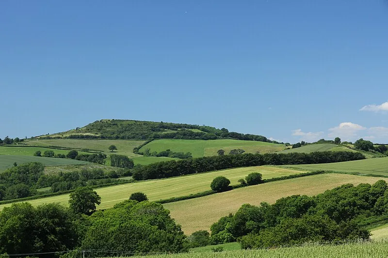
Pilsdon Pen is a 277-metre hill in Dorset in South West England, situated at the north end of the Marshwood Vale, approximately 4.5 miles west of Beaminster [1]. The hill is a lower greensand Cretaceous outcrop situated amongst Jurassic strata of marl and clay [1]. The hill is topped by an Iron Age multivallate Durotrigian hillfort which was excavated in the 1960s by Peter Gelling of the University of Birmingham with his wife Margaret Gelling at the request of the then owner, Michael Pinney [1]. The remains of 14 roundhouses were uncovered near the centre of the hill fort [1].
Text: Wikipedia – 'Pilsdon Pen' (revision of 2026-05-24), CC BY-SA 4.0 · sentences selected and shortened by an AI system · source →Pilsdon Pen
Also known as: جبل پيلسدون پين
| Type | Fort |
|---|---|
| Period | 1500 - 500 BC |
| Country | England |
| Coordinates | 50.8066° N, 2.8344° W |