
 England
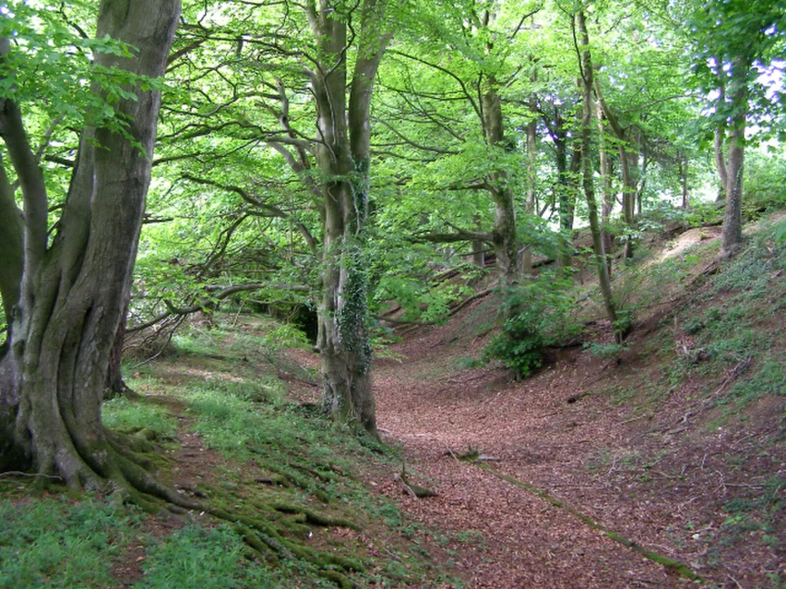
Clearbury Ring is a univallate Iron Age hillfort which is partly in the parish of Downton in the county of Wiltshire in south-west England, approximately 5 kilometres due south of Salisbury city centre [1]. The fort occupies a prominent hilltop overlooking the valley of the River Avon, at an altitude of 142 metres above mean sea level [1]. Clearbury Ring encloses an area of approximately 2 hectares; the rampart is well preserved and consisted of a single bank with a ditch outside it [1]. The fort had a single entrance on the north-west side, consisting simply of a 10-metre wide gap with a causeway across the ditch [1]. Traces of a quarry are evident within the fort's interior [1]. A Paleolithic hand axe was found here [1]. To the south-west of the fort are the remains of a lynchet, consisting of a steep 2-metre high scarp that runs parallel to the fort's defences [1].
Text: Wikipedia – 'Clearbury Ring' (revision of 2025-03-09), CC BY-SA 4.0 · sentences selected and shortened by an AI system · source →Clearbury Ring
| Type | Fortress/citadel |
|---|---|
| Period | 1500 - 500 BC |
| Country | England |
| Coordinates | 51.0189° N, 1.7839° W |