
 England
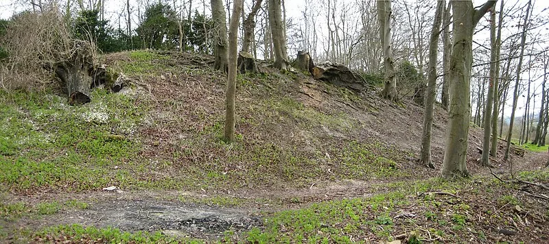
Vespasian's Camp is an Iron Age hillfort just west of the town of Amesbury, Wiltshire [1]. The hillfort is less than 3 kilometres from the Neolithic and Bronze Age site of Stonehenge, and was built on a hill next to the Stonehenge Avenue; it has the River Avon on its southern side and the A303 road on its northern edge [1]. The site is a scheduled monument and lies within the boundaries of the Stonehenge World Heritage Site [1]. The earthworks were named "Vespasian's Camp" in the 16th century by William Camden, an Elizabethan antiquarian and historian, during a tour of the area [1]. Although the Roman general Vespasian, who was later Roman emperor from 69 to 79 CE, campaigned through Wessex after the Roman invasion of Britain in 43 CE, there is no evidence to suggest he came to this hillfort or had any military base here [1]. Aligned from north to south, the hillfort is 730 m long and 374 m wide at its southern end, narrowing to 100 m wide at the north [1]. It encloses an area of some 14 ha [1].
Text: Wikipedia – 'Vespasian's Camp' (revision of 2026-07-24), CC BY-SA 4.0 · sentences selected and shortened by an AI system · source →Vespasian's Camp
Also known as: Acampamento de Vespasiano, camp de Vespasien
| Type | Fortress/citadel |
|---|---|
| Period | < 4500 BC |
| Country | England |
| Coordinates | 51.1740° N, 1.7929° W |