
 England
Bokerley Dyke, Bokerly Dyke, Bokerley Ditch, is a linear earthwork 5.75 kilometres long on Cranborne Chase in Dorset, partially running along the county's border with Hampshire between Woodyates and Martin [1]. It is part of a Scheduled Monument together with Grim's Ditch and other associated earthworks [1]. Bokerley Dyke was excavated by Augustus Pitt Rivers between 1888 and 1891 and by Philip Rahtz in advance of road widening in 1958 [1]. Bokerley Dyke may have originated in the Bronze Age or Early Iron Age and formed a political and cultural boundary [1]. It was cut through by a Roman Road in the 1st century [1]. In the 4th century it was remodelled and brought back into use, and excavations show that the Roman road was blocked [1]. A coin of Valens dates this activity to shortly after 364 AD [1].
Text: Wikipedia – 'Bokerley Dyke' (revision of 2025-05-28), CC BY-SA 4.0 · sentences selected and shortened by an AI system · source →Bokerley Dyke
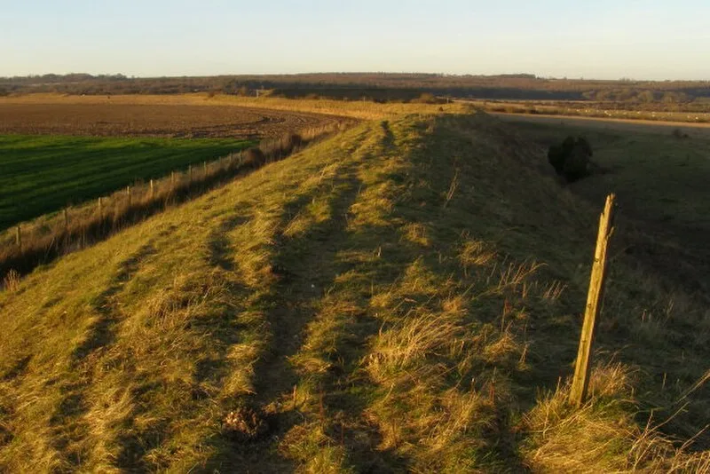
Also known as: Bokerleydiket, Douvez Bokerley
| Type | Earthwork |
|---|---|
| Period | 4500 - 3000 BC |
| Country | England |
| Coordinates | 50.9723° N, 1.9415° W |