
 England
Batham Gate is the medieval name for a Roman road in Derbyshire which ran south-west from Templebrough on the River Don in South Yorkshire to Brough-on-Noe and the spa town of Buxton in Derbyshire [1]. Gate means "road" in northern English dialects; the name therefore means "road to the bath town" [1]. Batham Gate Road was assigned the Margary number RR710a [1]. A section of Batham Gate Road east of Peak Forest is a protected Scheduled Monument [1]. There are also modern roads called Batham Gate Road at Peak Dale, near Buxton, and at Bradwell, near Brough, which are remnants of the route of the original Roman road [1]. A Roman milestone was discovered in 1862 in the Silverlands district of Buxton [1]. It is the oldest inscribed milestone found in Derbyshire [1].
Text: Wikipedia – 'Batham Gate' (revision of 2025-08-16), CC BY-SA 4.0 · sentences selected and shortened by an AI system · source →Batham Gate
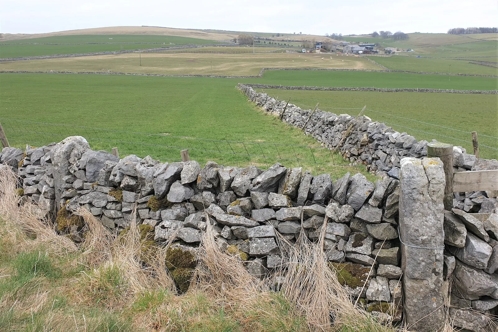
Also known as: Batham Gate, Roman road
| Type | Road/avenue/trackway |
|---|---|
| Period | 1 - 500 AD |
| Country | England |
| Coordinates | 53.2810° N, 1.8850° W |