
 England
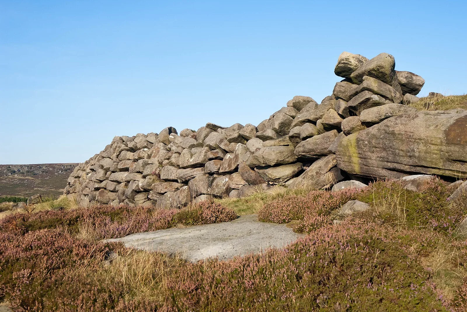
Carl Wark (sometimes Carl's Wark) is a rocky promontory on Hathersage Moor in the Peak District National Park, just inside the boundary of Sheffield, England [1]. The promontory is faced by vertical cliffs on all but one side, which is protected by a prehistoric embankment [1]. The cliffs and embankment form an enclosure that has been interpreted as an Iron Age hill fort, though the date of construction and purpose of the fortifications remains unknown [1]. Carl Wark is located at grid reference SK259814, at an elevation of about 370 metres above sea level [1]. The promontory is approximately 230 metres long and 60 metres wide, oriented south-east to north-west [1]. The southern edge of the enclosure consists of large earth-fast boulders that have been reinforced with millstone grit blocks, forming a wall 2–2.5 metres high [1]. A rampart across the western end of the promontory completes the enclosure [1].
Text: Wikipedia – 'Carl Wark' (revision of 2024-01-23), CC BY-SA 4.0 · sentences selected and shortened by an AI system · source →Carl Wark
Also known as: Карл Уорк
| Type | Fort |
|---|---|
| Period | 1500 - 500 BC |
| Country | England |
| Coordinates | 53.3296° N, 1.6127° W |