
 England
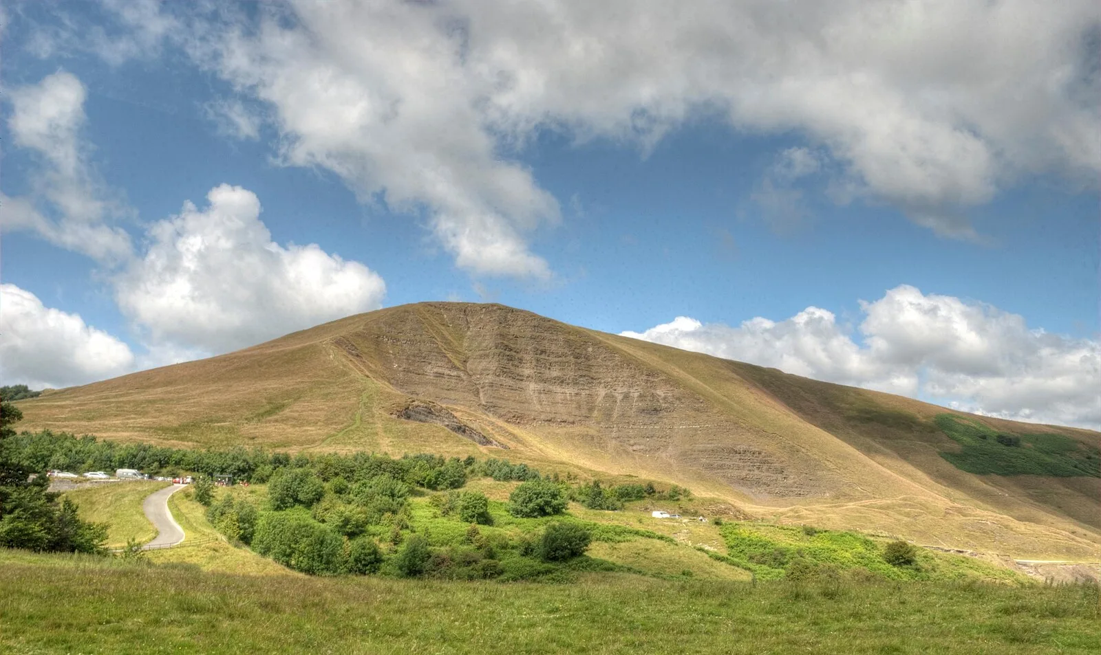
Mam Tor is a 517-metre hill near Castleton in Derbyshire, England, crowned by a Late Bronze Age to Early Iron Age hillfort dating to 1200-500 BC. The univallate fort encloses roughly 6.4 hectares with a dump rampart, rock-kerbed ditch, and counterscarp bank. Excavations in the 1960s revealed over 140 leveled hut platforms, hearths, charred grain, saddle-quern grinding stones, and bronze bracelets, indicating a substantial fortified village. Two earlier Bronze Age bowl barrows also stand on the summit. Named 'Mother Hill' for the landslips on its eastern face, it was listed among the Seven Wonders of the Peak by Thomas Hobbes in 1636.
Mam Tor
Also known as: מאם טור, جبل مام تور, マム・トー
| Type | Fort |
|---|---|
| Period | 1500 - 500 BC |
| Country | England |
| Coordinates | 53.3493° N, 1.8105° W |