
 England
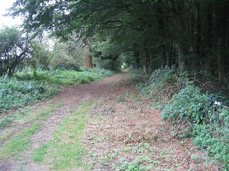
Peddars Way is a 74 km (46 mi) long-distance path following a Roman road from Knettishall Heath in Suffolk to Holme-next-the-Sea in Norfolk. Its remarkably straight alignment reflects Roman military engineering, though it may predate the Romans as a prehistoric trackway linked to the Icknield Way. The route passes Castle Acre with its medieval priory and Norman castle earthworks, and intersected Roman installations including a fort at Brettenham and the Saxon Shore fort at Brancaster. Today it forms part of the Peddars Way and Norfolk Coast Path National Trail.
Peddars Way
| Type | Road/avenue/trackway |
|---|---|
| Period | 1 - 500 AD |
| Country | England |
| Coordinates | 52.7200° N, 0.6786° E |