
 Wales
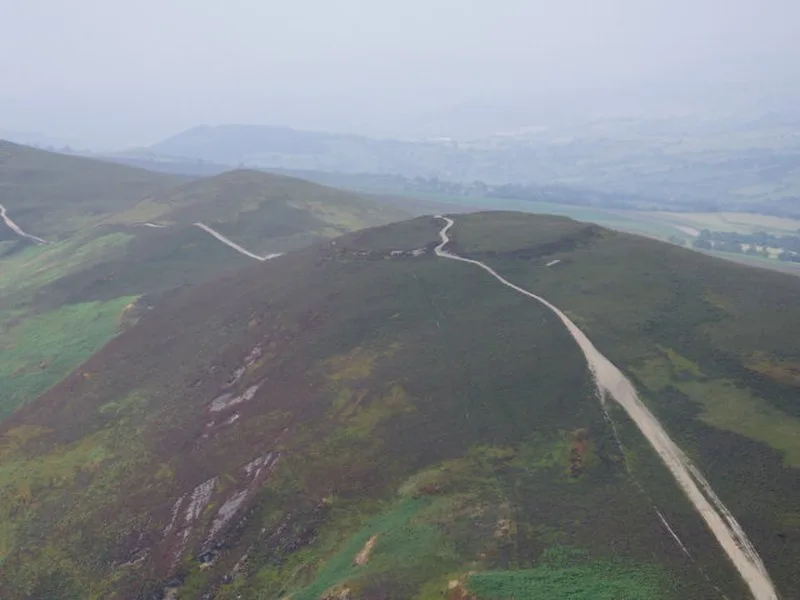
WalesMoel y Gaer is an Iron Age hillfort on a summit of Llantysilio Mountain, northwest of Llangollen, Denbighshire, Wales, classified as a Scheduled Monument. The roughly oval fort measures approximately 140 by 100 metres, enclosing nearly one hectare, defended by a single stone rampart up to 3.1 metres high externally and a ditch, with a sole eastern entrance. Surveys (2006-2007) revealed remains of 11 roundhouses, and a 2010 excavation uncovered two roundhouses of about 7 metres diameter from different occupation periods. The site is managed as part of the Heather and Hillforts conservation project.
Moel y Gaer, Llantysilio
| Type | Fortress/citadel |
|---|---|
| Period | 1500 - 500 BC |
| Country | Wales |
| Coordinates | 53.0082° N, 3.2428° W |