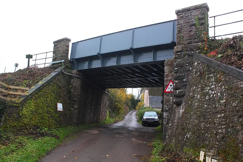
Colebrooke, Devon

Colebrooke, Devon
Geof Sheppard · CC BY-SA 4.0

Colebrooke is a village and parish in Devon, England, about 5 miles (8 km) west of Crediton[1]. The site is notable for remains of a Roman road agger visible in a field roughly 300 metres south of Rag Lane, east of Five Acre Copse[2]. This road maintained its route from North Tawton, becoming less distinct at Colebrooke, though a straight lane along the ridge east of the railway suggests its original line[2]. Colebrooke is believed to be the location of a Roman settlement, though documentation is fragmentary[3].

TypeCity/town/settlement
Period1 - 500 AD
CountryEngland
Coordinates50.7866° N, 3.7462° W

More sites in England

Posbury Hill Fort · Berry Castle, Black Dog · Wooston Castle · Prestonbury Castle · Lapford · Cranbrook Castle · Spinsters' Rock · North Tawton · Hunter's Tor, Lustleigh Cleave · Cotley Castle · Hundatorra · Hound Tor · Grimspound · Scorhill Stone Circle · Raddon Top · Shovel Down · Ide, Devon · Cadbury Castle, Devon · Fosse Way · Isca Dumnoniorum · Stoke Hill · Nine Maidens Stone Circle · Grey Wethers · Holne Chase Castle

All sites in England

Was this page useful?

Keep exploring

Every site on this page sits on the globe, and the people who research them are on the Discord.

3D Globe · Sites by country · Story Archive · Research Library · Weekly Journal · Search