
 Wales
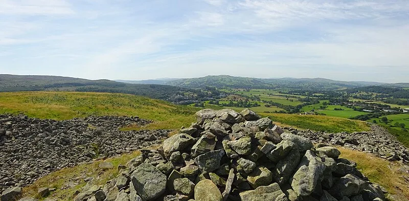
WalesEarly Iron Age hillfort dating to around 500 BC, perched on a spur above the confluence of the River Dee near Corwen, Denbighshire. Unusually built largely of stone rather than earthen banks, the fort encloses about 3 hectares behind a large stone rampart with entrances on the west and north sides, a guard chamber within the north-east entrance, and a deep defensive ditch. The site saw later military use: Owain Gwynedd reportedly occupied it against Henry II in 1165, and Owain Glyndwr is said to have mustered troops here in 1400 after being proclaimed Prince of Wales.
Caer Drewyn
| Type | Fortress/citadel |
|---|---|
| Period | 1500 - 500 BC |
| Country | Wales |
| Coordinates | 52.9893° N, 3.3606° W |