
 Spain
SpainThe name "Castellet de Banyoles" comes from the 12th century castle built in the south-western corner of the site [1]. The site is located about 7 km from the modern town of Tivissa, in a plain headland facing the left side of the Ebro river, in an altitude of 172 m above sea level [1]. The shape of the headland is that of an isosceles triangle, with the shortest side facing the river and the closest angle being the entrance of the city [1]. The site is surrounded by steep cliffs that make it impossible to access from anywhere but the narrow funnel entrance [1].
Text: Wikipedia – 'Castellet de Banyoles' (revision of 2026-07-18), CC BY-SA 4.0 · sentences selected and shortened by an AI system · source →Castellet de Banyoles
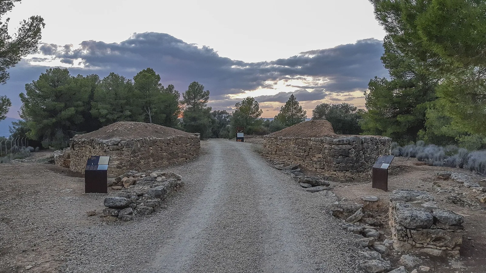
Also known as: Kum, Poblado Ibérico del Castellet de Banyoles, poblat ibèric del Castellet de Banyoles, Кастельет де Баньолес, Кастельет-де-Баньолес
| Type | City/town/settlement |
|---|---|
| Period | 500 BC - 1 AD |
| Country | Spain |
| Coordinates | 41.0616° N, 0.6681° E |