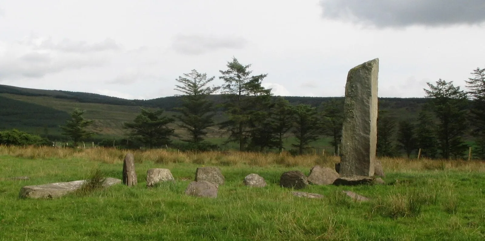
Glantane East

Glantane East
Ceoil at en.wikipedia · CC BY-SA 3.0

Also known as: An Gleanntán Thoir, Глантан-Ист, Глантан-Іст, Глентейн-Іст, Глентен-Іст, Глэнтэн-Ист

Glantane East is a megalithic complex situated 6.4 kilometres from Millstreet, County Cork [1]. It is set in the Keel River valley on the north-west upper slopes of Musherabeg mountain, in the townland of Glantane [1]. The complex includes a wedge tomb, two stone circles and a pair of stone alignments [1]. One of the slabs from the larger stone circle has fallen [1].

Text: Wikipedia – 'Glantane East' (revision of 2025-06-19), CC BY-SA 4.0 · sentences selected and shortened by an AI system · source →
TypeMegalithic stones
Period4500 - 3000 BC
CountryIreland
Coordinates52.0046° N, 9.0448° W

More sites in Ireland

Knocknakilla · Carrigagulla · Beenalaght · Castlenalacht Stone Row · Templebryan Stone Circle · Kealkill Stone Circle · Bohonagh Stone Circle · Drombeg Stone Circle · Uragh Stone Circle · Grange Stone Circle · Labbacallee Wedge Tomb · Ardgroom · Poulnabrone Dolmen · Eightercua Stone Row · Coom Wedge Tomb · Turoe Stone · Riasc Monastic Settlement · Knockroe Passage Tomb · Meehambee Dolmen · Castlestrange Stone · Kilmogue Portal Tomb · Carnfree · Carrowkeel Megalithic Cemetery · Knocknarea

All sites in Ireland →

Was this page useful?

Keep exploring

Every site on this page sits on the globe, and the people who research them are on the Discord.

3D Globe · Sites by country · Story Archive · Research Library · Weekly Journal · Search