
 Guatemala
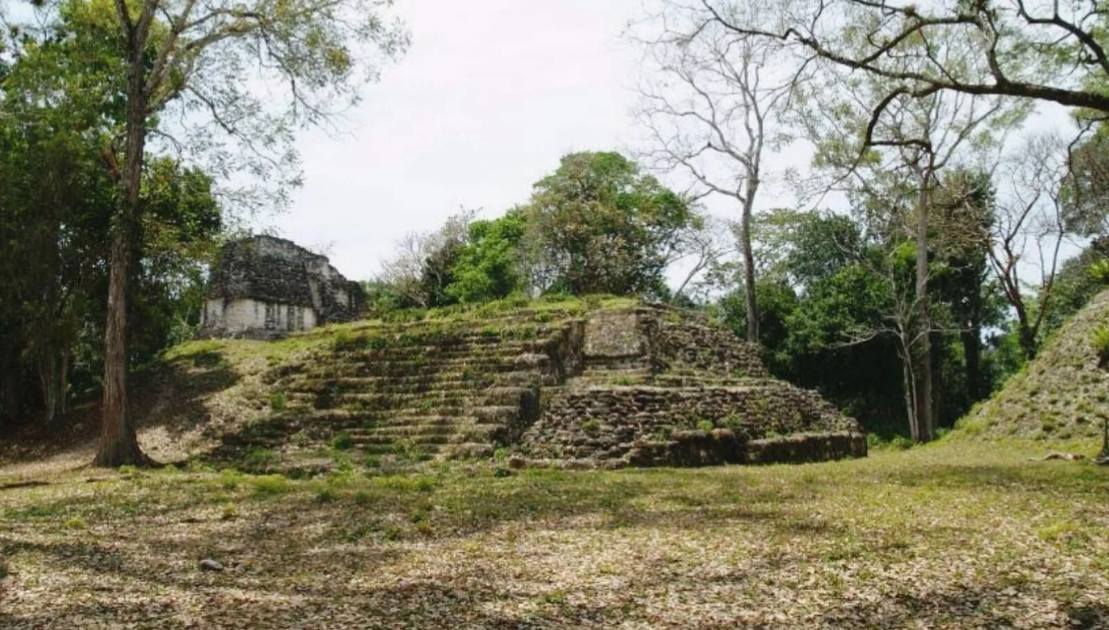
Naachtun is an archaeological site of the pre-Columbian Maya civilization, situated at the northeastern perimeter of the Mirador Basin region in the southern Maya lowlands, now in the modern-day Department of El Petén [1]. Situated in one of the areas most remote from contemporary settlements, the site was first rediscovered and documented in 1922 by the American archaeologist and Mayanist scholar, Sylvanus Morley [1]. The name Naachtun was given to the site by Morley, taken from a Mayan construction glossed as "distant stones", in recognition of its remoteness [1]. Its ancient name was Masuul [1]. By the Terminal Classic, Naachtun suffered a population loss leaving many of the residential structures abandoned [1]. The site is divided into three groups: Group A, Group B and Group C. The majority of the structures in Groups C and A were built during the Balam 2 phase (350–500 CE) [1]. Archeologists have excavated 45 stelae from Naachtun [1].
Text: Wikipedia – 'Naachtun' (revision of 2025-06-08), CC BY-SA 4.0 · sentences selected and shortened by an AI system · source →Naachtun
Also known as: Маасаль, Наачтун, ناشتون (مدينه ضايعه فى اداره بيتين), ナーチトゥン, 納赫通
| Type | City/town/settlement |
|---|---|
| Period | 1 - 500 AD |
| Country | Guatemala |
| Coordinates | 17.7940° N, 89.7285° W |