
 Guatemala
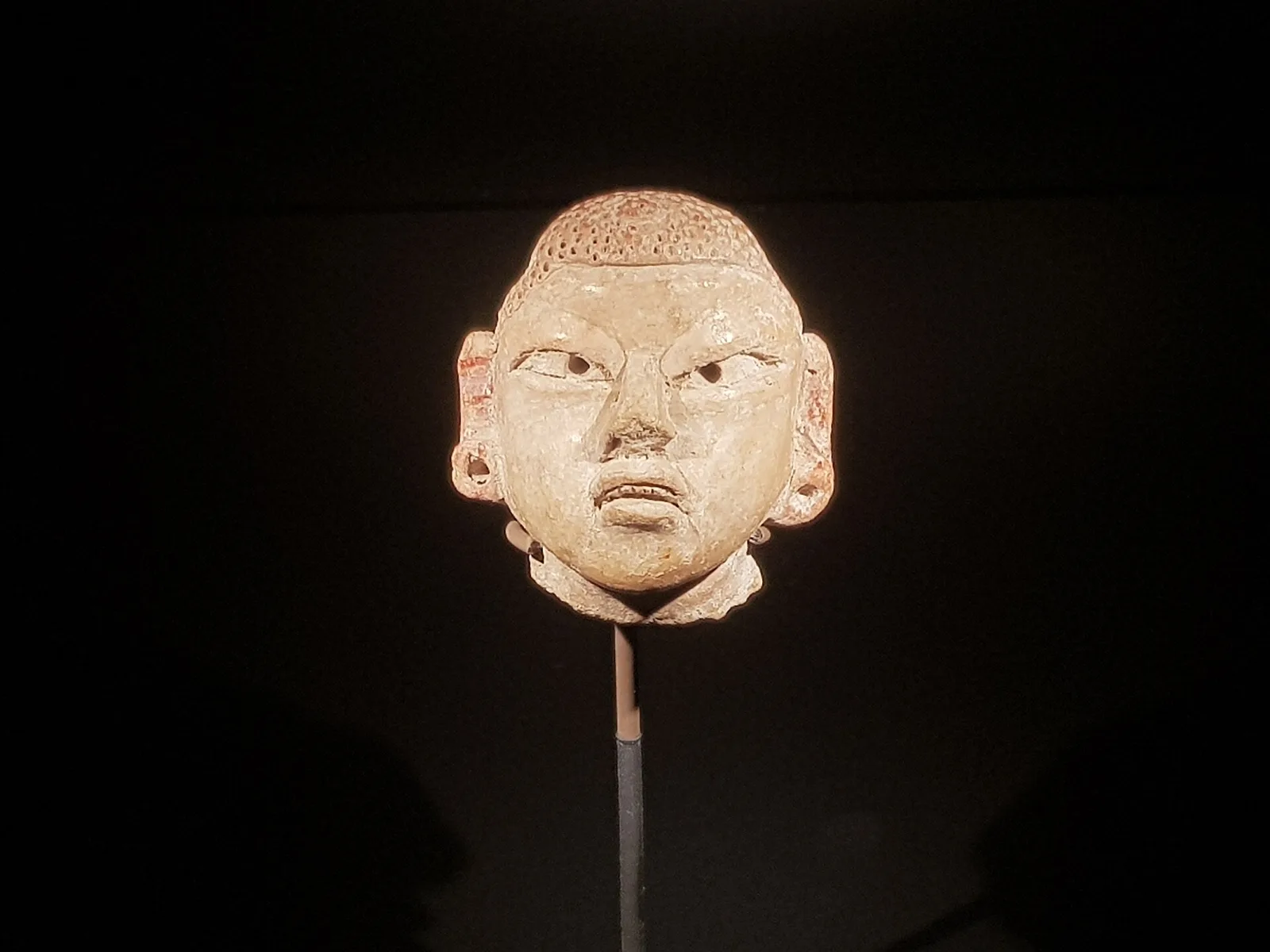
Cival is an archaeological site in the Petén Basin region of the southern Maya lowlands, which was formerly a major city of the Pre-Columbian Maya civilization [1]. The site flourished from about the 6th century B.C. through the 1st century C.E., during the Preclassic Period [1]. The site is about 25 miles east of Tikal, on a ridge over the left bank of the Holmul river [1]. The site has temples on step pyramids and plazas arranged to point to astronomical events such as the equinox sunrise, and is surrounded by a defensive wall [1]. The site's largest step pyramid is 27 metres high and 70 x 40 metres wide [1]. Some buildings were decorated with stucco sculptures depicting Mesoamerican deities [1]. The site was long lost in the jungle, and was discovered and partly plundered by looters around 1980 [1]. It was first mapped by explorer Ian Graham in 1984, who gave it the name Cival after a local word for "lagoon" [1].
Text: Wikipedia – 'Cival' (revision of 2025-10-31), CC BY-SA 4.0 · sentences selected and shortened by an AI system · source →Cival
Also known as: Ківаль, Сиваль, Сіваль, シヴァル, 西瓦爾
| Type | City/town/settlement |
|---|---|
| Period | 1500 - 500 BC |
| Country | Guatemala |
| Coordinates | 17.3644° N, 89.2537° W |