
 Guatemala
Naranjo (Wak Kab'nal in Mayan) is a Pre-Columbian Maya city in the Petén Basin region of Guatemala [1]. It was occupied from about 500 BC to 950 AD, with its height in the Late Classic Period [1]. The city lies along the Mopan and Holmul rivers, and is about 50 km east of the site of Tikal [1]. The area of Naranjo covers at least 8 km2 with the urban center covering about 2.25 km2 [1]. The epicenter consists of six triadic complexes, two ballcourts, two palace compounds, and one E-group [1]. The site was first mapped and photographed by Teoberto Maler in 1905, who was sent by The Peabody Museum of Harvard University [1]. In 1908 Maler excavated the hieroglyphic stairway from structure B-18, parts of which are now housed in the British Museum in London [1].
Text: Wikipedia – 'Naranjo' (revision of 2026-09-18), CC BY-SA 4.0 · sentences selected and shortened by an AI system · source →Naranjo
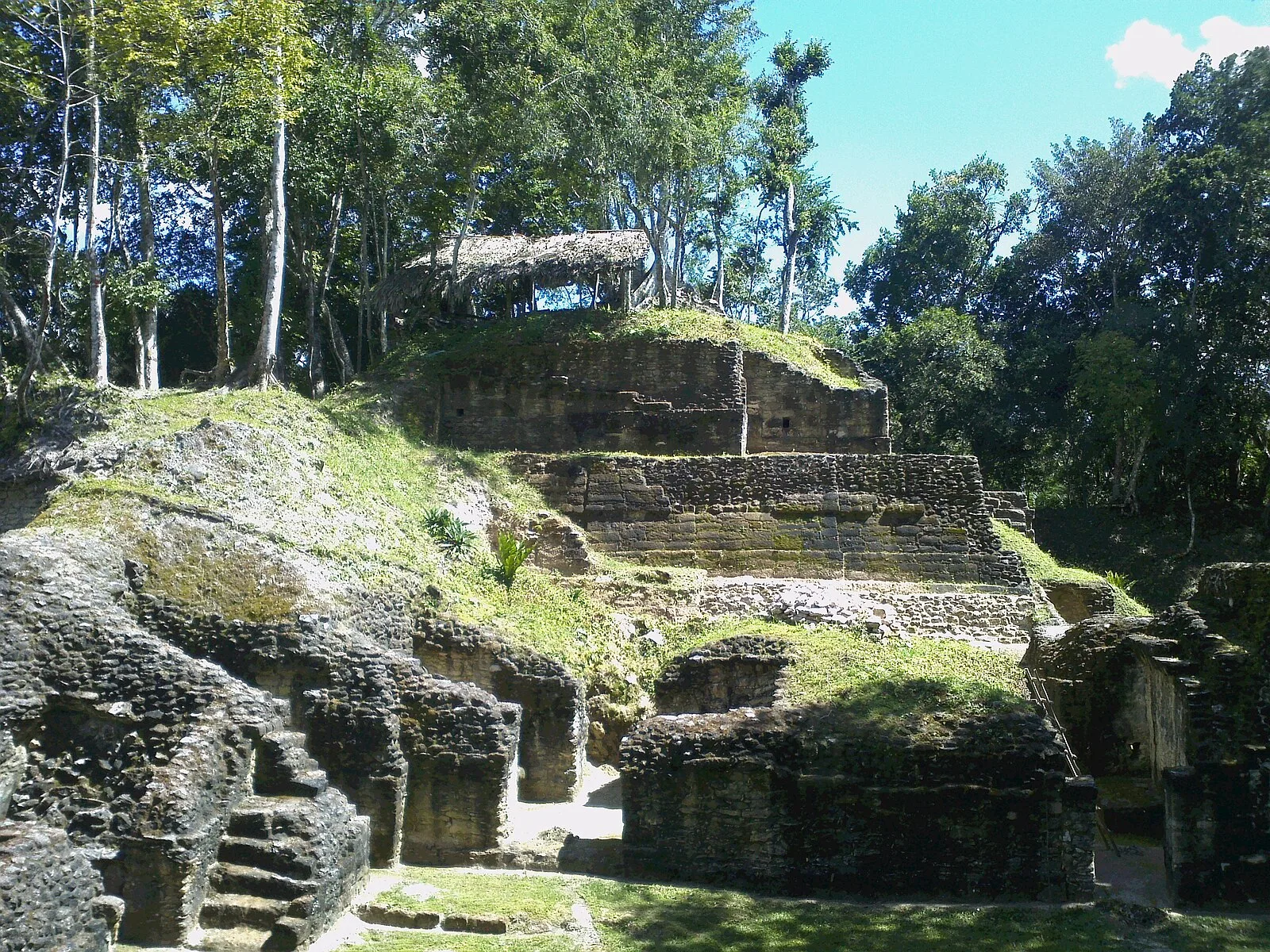
Also known as: 나랑호, El Naranjo, El Naranjo (arkiyolohiyang dapit), El Naranjo (fornlämning), El Naranjo (Guatemala), Naranchas, Naranjo (Guatemala), Naranjo (Gvatemalo), Наранхо, נראנחו, ナランホ, 纳兰永
| Type | City/town/settlement |
|---|---|
| Period | 500 BC - 1 AD |
| Country | Guatemala |
| Coordinates | 17.1334° N, 89.2617° W |