
 England
The Yelland Stone Rows is a prehistoric monument of two parallel rows of small standing stones located on the tidal mudflats of the River Taw estuary, in Devon [1]. The stone alignment consists of at least 18 sandstone pieces, at least 30 cm high and 22 cm wide, positioned in a pair of parallel rows, up to 2.5 m apart [1]. The Yelland Stone Rows were excavated by archaeologist, E. H. Rogers in the 1930s [1]. A partial excavation uncovered eighteen stones arranged into nine standing pairs [1]. Near the stones, Rogers discovered flint tools and evidence indicating human occupation of the site during the Mesolithic, Neolithic and Early Bronze Age eras [1]. In 1932, the tallest standing stone measured 40cm in height above the silt, and the rows were determined to be 56m in length [1]. By 1983, only seven stones were visible above the mud and the remaining stones disappeared from view over the next several years [1].
Text: Wikipedia – 'Yelland Stone Rows' (revision of 2026-07-18), CC BY-SA 4.0 · sentences selected and shortened by an AI system · source →Yelland Stone Rows
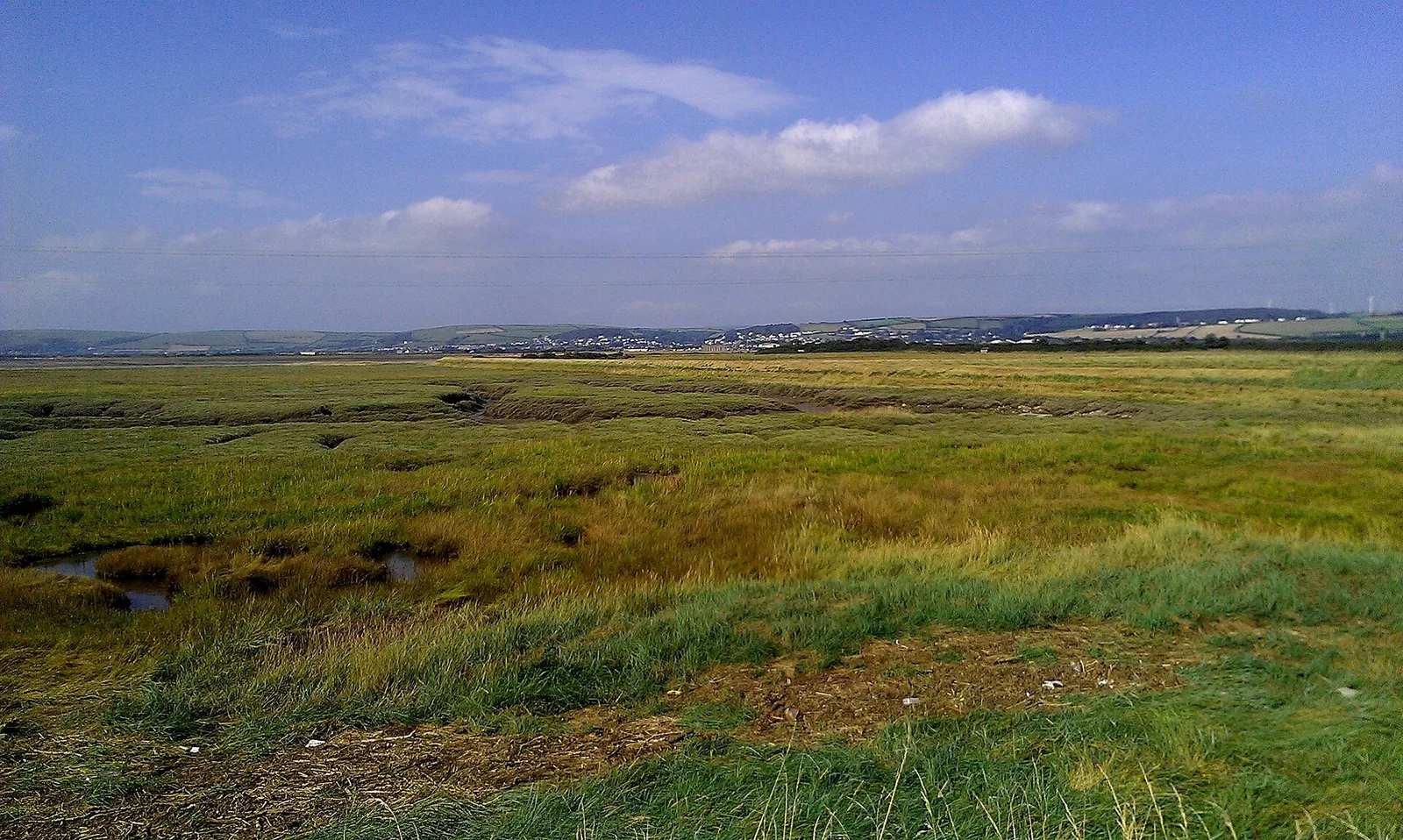
Also known as: Double stone alignment on Isley Marsh 535m north of Lower Yelland Farm
| Type | Megalithic stones |
|---|---|
| Period | 4500 - 3000 BC |
| Country | England |
| Coordinates | 51.0756° N, 4.1551° W |