
 England
Maes Knoll is an Iron Age hill fort in Somerset, England, located at the eastern end of the Dundry Down ridge, south of the city of Bristol and north of the village of Norton Malreward near the eastern side of Dundry Hill [1]. It is a Scheduled Ancient Monument [1]. The underlying rocks are Inferior Oolite of the Jurassic period [1]. The name Maes Knoll is derived from the Brythonic word *maɣes meaning flat top, derived from Proto-Celtic *magos meaning plain, field, and Old English knoll or knowle meaning hill [1].
Text: Wikipedia – 'Maes Knoll' (revision of 2026-06-11), CC BY-SA 4.0 · sentences selected and shortened by an AI system · source →Maes Knoll
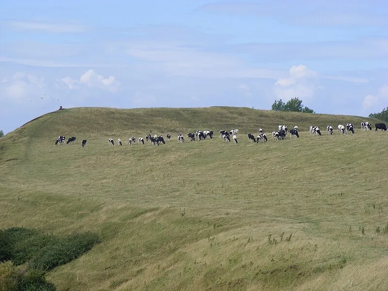
Also known as: Maes Knoll Camp, Maesknoll Tump, Maes Knoll Tump, Maes Tump
| Type | Fortress/citadel |
|---|---|
| Period | 500 BC - 1 AD |
| Country | England |
| Coordinates | 51.3922° N, 2.5755° W |