
 England
The Fairy Toot is an extensive oval barrow in the civil parish of Nempnett Thrubwell, Somerset [1]. Fairy Toot was formerly a chambered cairn which is a Scheduled Ancient Monument [1]. Located south-southwest of Howgrove Farm, it is a mound 60 m long, 25 m wide and now 2.5 m high [1]. Formerly it was considerably higher [1]. On being opened and essentially destroyed between 1787 and 1835 by the Reverend Thomas Bere of Butcombe and the Reverend John Skinner of Camerton, it was found to contain two rows of cells, running from south to north, formed by immense stones set edgeways [1]. A human skull from the barrow is now in the Bristol Museum and Art Gallery [1]. At the time it was conjectured to be a work of the Druids, but its origins are far older and probably date from the Neolithic period [1].
Text: Wikipedia – 'Fairy Toot' (revision of 2026-07-21), CC BY-SA 4.0 · sentences selected and shortened by an AI system · source →Fairy Toot
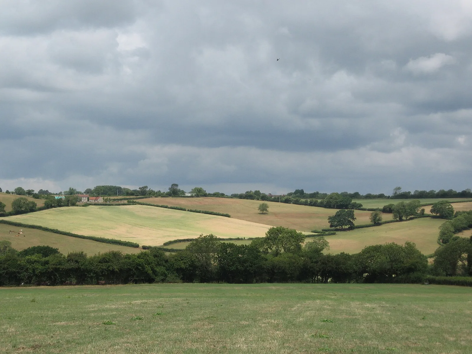
Also known as: The Fairy Toot long barrow 350m SSW of Howgrove Farm
| Type | Barrow |
|---|---|
| Period | 4500 - 3000 BC |
| Country | England |
| Coordinates | 51.3532° N, 2.6899° W |