
 England
Chesterfield originated as a Roman auxiliary fort built c. AD 54-55 on a spur overlooking the River Rother valley in Derbyshire. The fort guarded Ryknield Street, the Roman road between Derby (Derventio) and Templeborough, and may be identified with the settlement of Lutudarum. Excavations in 1974-77 revealed timber buildings in four phases (c. 70-130 AD), clay ramparts, defensive ditches, and iron-working furnaces indicating industrial reuse before abandonment around AD 140. The name derives from Old English ceaster (Roman fort) and feld (pasture).
Chesterfield, Derbyshire
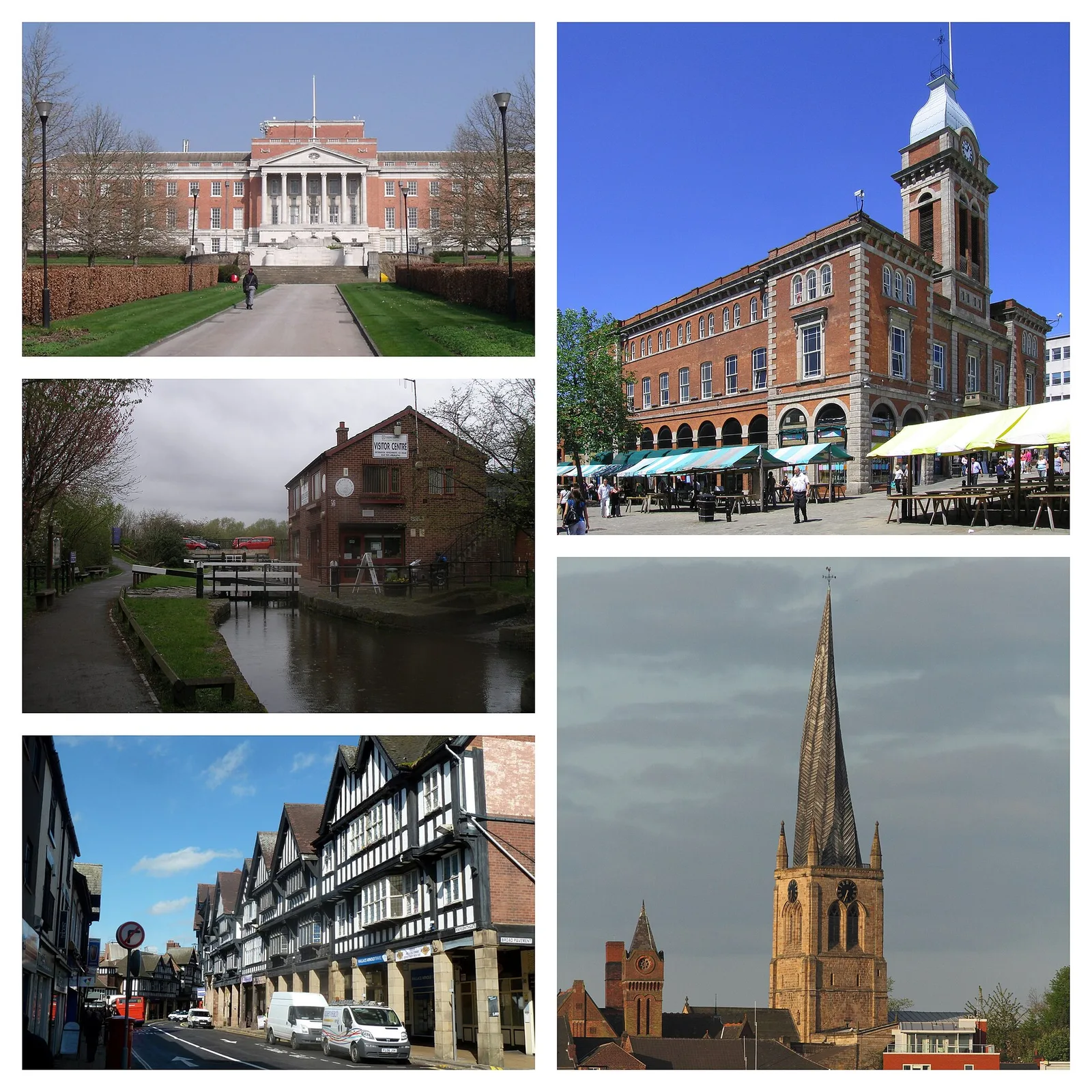
Also known as: 체스터필드, Ċeasterfeld, Česterfīlda, Česterfildas, Chesterfield, Chesterfield (Bro-Saoz), Chesterfield (Derbyshire), Chesterfield (Engeland), Chesterfield (Eng-lân), Chesterfield (lungsod sa Hiniusang Gingharian), Mesker, Τσέστερφιλντ
| Type | City/town/settlement |
|---|---|
| Period | 1 - 500 AD |
| Country | England |
| Coordinates | 53.2365° N, 1.4293° W |