
 England
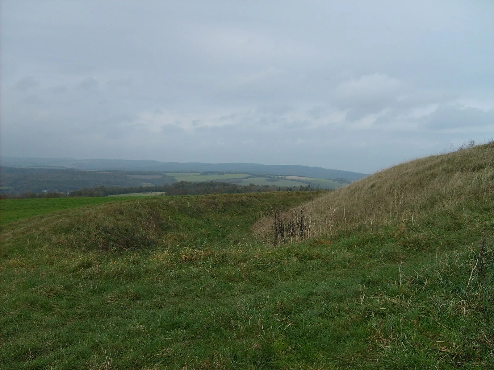
The Trundle is a hillfort on St Roche's Hill about 4 miles north of Chichester, West Sussex [1]. It was built in the Iron Age on the site of a causewayed enclosure, a form of early Neolithic earthwork found in northwestern Europe [1]. The hillfort is still a substantial earthwork, but the Neolithic site was unknown until 1925 when archaeologist O.G.S. Crawford obtained an aerial photograph of the Trundle [1]. Causewayed enclosures were new to archaeology at the time, with only five known by 1930, and the photograph persuaded archaeologist E. Cecil Curwen to excavate the site in 1928 and 1930 [1]. These early digs established a construction date of about 500 BC to 100 BC for the hillfort and proved the existence of the Neolithic site [1]. A review of the site in 1995 by Alastair Oswald noted the presence of fifteen possible Iron Age house platforms within the hillfort's ramparts [1]. The causewayed enclosure consists of at least four circular or partly circular ditches [1]. The Trundle was listed as a scheduled monument in 1933 [1].
Text: Wikipedia – 'The Trundle' (revision of 2026-07-19), CC BY-SA 4.0 · sentences selected and shortened by an AI system · source →The Trundle
Also known as: 트런들, 세인트 로슈 언덕에 있는 트런들 힐포트, 둑길이 있는 인클로저 및 관련 유적, The Trundle hillfort, causewayed enclosure and associated remains at St Roche's Hill, Trundle, Trundle Camp, ザ・トランドル
| Type | Fortress/citadel |
|---|---|
| Period | 4500 - 3000 BC |
| Country | England |
| Coordinates | 50.8927° N, 0.7538° W |