
 England
Berry Ring (also known as Bury Ring) is an Iron Age hillfort in Staffordshire, England, lying some two miles southwest of the county town of Stafford [1]. The defences, following the contours of the ground, enclose an area of about 3 hectares [1]. The rampart is about 1.5 metres high in the south-east, elsewhere about 0.2 metres high [1]. The outer ditch is up to 18 metres wide and 4 to 4.7 metres deep [1]. A counterscarp bank can be seen in the north, west and south, most clearly in the north-west where it is 1 metre high and 14 metres wide [1]. The original entrance is thought to be in the south; its features are unclear because of sand and gravel extraction in recent times [1].
Text: Wikipedia – 'Berry Ring' (revision of 2026-07-21), CC BY-SA 4.0 · sentences selected and shortened by an AI system · source →Berry Ring
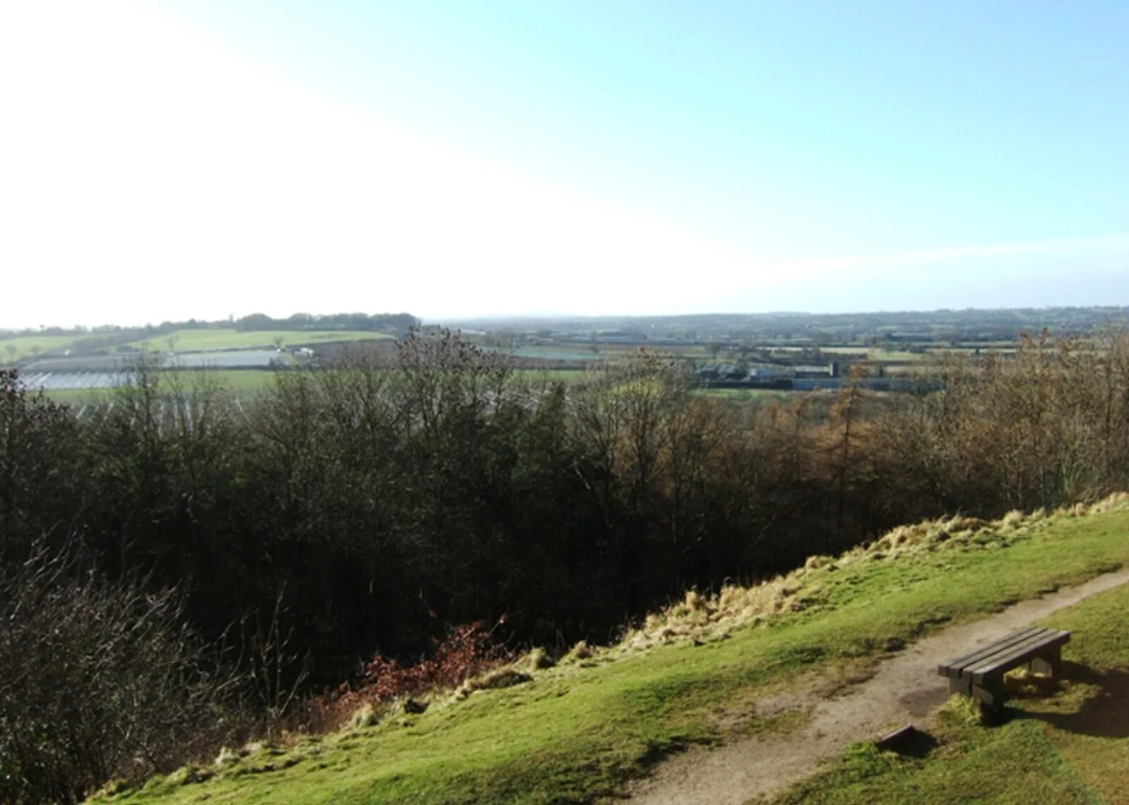
Also known as: Berry Ring hillfort, Bury Ring
| Type | Fortress/citadel |
|---|---|
| Period | 1500 - 500 BC |
| Country | England |
| Coordinates | 52.7881° N, 2.1685° W |