
 England
Wychbury Ring is an Iron Age hill fort located on Wychbury Hill, near Hagley, Stourbridge [1]. The fort measures 250 m from east to west and 150 m from north to south, covering an area of 7.25 acres [1]. It has two sets of ramparts and ditches [1]. The inner rampart is between 16 m and 20 m wide, rising up to 2.6 m in height, with the surrounding inner ditch 10 m wide and up to 1.7 m deep [1]. The outer rampart is 10 m wide and up to 3 m in height, with the outer ditch being 10 m wide and up to 1.2 m deep [1]. There are fortified entrances at the east and south west [1]. Small bronze rings, including an Iron Age terret, were found in the fort in 1884, and Roman coins and masonry have been found nearby, suggesting a possible site of a later Roman Villa [1].
Text: Wikipedia – 'Wychbury Ring' (revision of 2026-07-01), CC BY-SA 4.0 · sentences selected and shortened by an AI system · source →Wychbury Ring
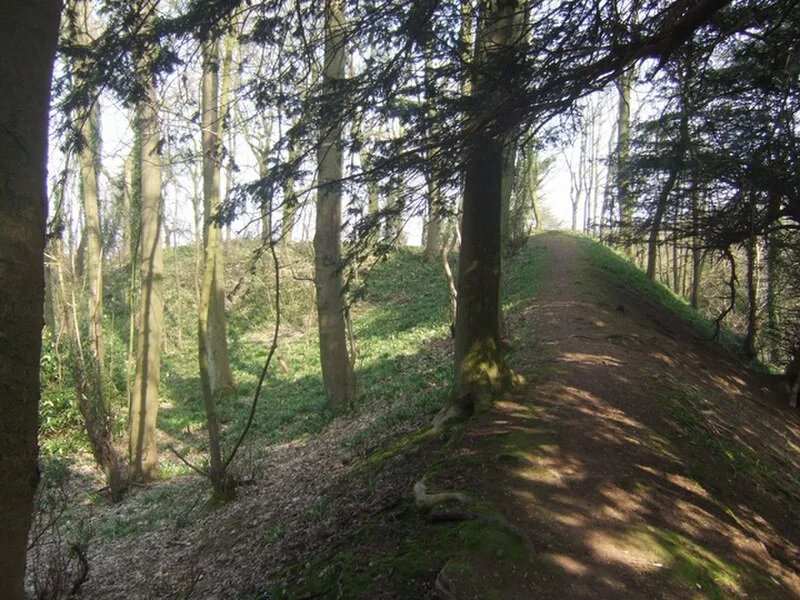
Also known as: Small multivallate hillfort called Wychbury Ring 450m south east of Pedmore Hall, Wychbury Camp, Wychbury Hill Camp
| Type | Fortress/citadel |
|---|---|
| Period | 1500 - 500 BC |
| Country | England |
| Coordinates | 52.4334° N, 2.1191° W |