
 Croatia
The Pannonian Limes is part of the old Roman fortified frontier known as the Danubian Limes that runs for approximately 420 km from the Roman camp of Klosterneuburg in the Vienna Basin in Austria to the castrum in Singidunum in present-day Serbia [1]. The garrisons of these camps protected the Pannonian provinces against attacks from the north from the time of Augustus to the beginning of the 5th century [1]. The Danubian limes was one of the most turbulent regions in the European part of the Roman Empire and, during more than 400 years of Roman rule, Pannonia was one of its most important provinces, especially after the abandonment of Dacia Traiana in 271 AD, because from that point on, the pressure of migrating peoples on this section of the limes increased still further [1]. The majority of the occupying forces were stationed in camps, small forts, watchtowers, burgi and fortified bridgeheads that were built at regular intervals along the riverbank [1].
Text: Wikipedia – 'Pannonian Limes' (revision of 2026-09-02), CC BY-SA 4.0 · sentences selected and shortened by an AI system · source →Pannonian Limes
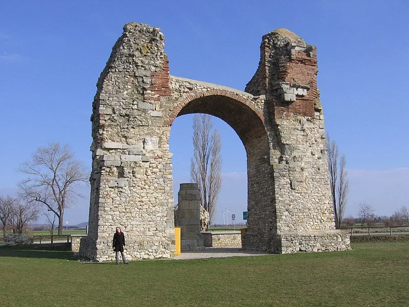
Also known as: a római limes magyarországi szakaszai, Biên thành Pannonia, Limesi Panonik, Limes Pannonicus, Pannonischer Limes, Panonski limes, panonský limes, Паннонский лимес, Паннонський лімес, პანონიის ლიმესი
| Type | Fortification |
|---|---|
| Period | 500 BC - 1 AD |
| Country | Croatia |
| Coordinates | 44.0001° N, 20.9999° E |