
 Austria
Drachenhöhle or Drachenhöhle Mixnitz is a 542 m long cave with a 20 m wide and 12 m high entrance near Mixnitz, Styria, Austria, south-east of Bruck an der Mur located at an elevation of 950 m above sea level [1]. The cave is one of the largest caves in the Alps where bears occupied an area that stretched over a length of way over 500 m, by an average width of up to 40 m and a height of 10 to 15 m [1]. Due to a shortage of fertilizers during and after World War I the 8 to 10 m high sediments inside the cave were intensively mined between 1918 and 1923 of which around 2,500 tons of phosphoric acid were extracted [1]. During the fertilizer mining, several geologists and paleontologists were present, who only documented the most valuable discoveries [1]. Nonetheless, a rich cache of cave bear, Eurasian cave lion, Gray wolf, Alpine ibex and Alpine marmot fossils, remains of open hearths and Paleolithic stone tools of the Aurignacian culture dated to 65,000 to 31,000 BCE were unearthed [1].
Text: Wikipedia – 'Drachenhöhle' (revision of 2026-07-22), CC BY-SA 4.0 · sentences selected and shortened by an AI system · source →Drachenhöhle
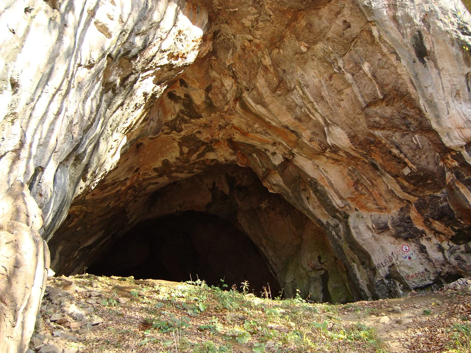
Also known as: Drachenhöhle bei Mixnitz, Drachenhöhle (langub sa Ostriya), Dragon's Lair at Mixnitz, كهف التنين
| Type | Cave Structures |
|---|---|
| Period | < 4500 BC |
| Country | Austria |
| Coordinates | 47.3259° N, 15.3793° E |