
 Peru
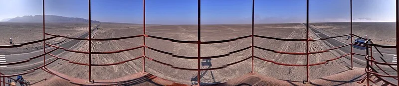
PeruThe Nazca Lines are a collection of giant geoglyphs etched into the desert plain of southern Peru, created between 500 BC and 500 AD by the ancient Nazca people [1]. These massive earth markings were made by removing surface pebbles to expose contrasting colored soil, creating designs of animals, plants, and geometric shapes [1]. The geoglyphs were created in two major phases: the Paracas phase (400–200 BC) and the Nazca phase (200 BC–500 AD) [1]. In recent years, archaeologists have discovered several hundred additional figures using drone technology [1]. The site was designated a UNESCO World Heritage Site in 1994 [2].
Nazca Lines
| Type | Geoglyphs |
|---|---|
| Period | 500 BC - 1 AD |
| Country | Peru |
| Coordinates | 14.7350° S, 75.1089° W |