
 Ireland
Carrigagulla is a megalithic complex 2.9 km northeast of Ballinagree in County Cork, Ireland, set within an amphitheatre of foothills leading to the monument-rich Boggeragh Mountains. The centrepiece is Carrigagulla A, a fine axial stone circle 8.2 metres in diameter consisting of 16 standing stones (originally likely 17) ranging from 90 cm to just over 30 cm in height, encircling a central boulder. The complex also includes two stone rows -- the northeast row of five stones (four now displaced as gateposts) and a southwest row of three stones (one fallen) -- plus an ogham stone discovered during peat cutting, now housed in Cork Public Museum since 1940. The axial stone circle typology is characteristic of the Cork-Kerry megalithic tradition of the Bronze Age.
Carrigagulla
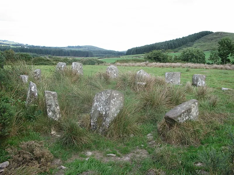
| Type | Stone circle |
|---|---|
| Period | 4500 - 3000 BC |
| Country | Ireland |
| Coordinates | 52.0007° N, 8.9164° W |