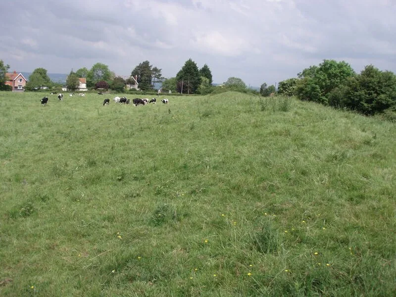
Ponter's Ball Dyke

Ponter's Ball Dyke
Jon Coupland · CC BY-SA 2.0

Ponter's Ball Dyke is a linear earthwork located near Glastonbury in Somerset, England [1]. It crosses at right angles an ancient road that continues to the former island of dry land in the Somerset levels surrounding Glastonbury Tor [1]. The earthwork consists of an embankment with a ditch on the east side [1]. It is built across the ridge of land between Glastonbury and West Pennard [1]. Both ends of the ditch and dyke disappear into moorland, formerly swamps [1].

TypeEarthwork
Period500 BC - 1 AD
CountryEngland
Coordinates51.1382° N, 2.6681° W

Related resources

More sites in England

New Ditch · Glastonbury Lake Village · Compton Dundon · Dundon Hill Hillfort · King's Castle, Wells · Wimble Toot · Priddy Nine Barrows and Ashen Hill Barrow Cemeteries · Meare Lake Village · Westbury Camp · Priddy Circles · Maesbury Castle · Sweet Track · Charterhouse Camp · Gough's Cave · Cadbury Castle, Somerset · Blacker's Hill · Small Down Knoll · Creech Hill · Ham Hill, Somerset · Burrington Combe · Ham Hill Hillfort · Burledge Hill · Sigwells · Burrington Camp

All sites in England

Was this page useful?

Keep exploring

Every site on this page sits on the globe, and the people who research them are on the Discord.

3D Globe · Sites by country · Story Archive · Research Library · Weekly Journal · Search