
 Wales
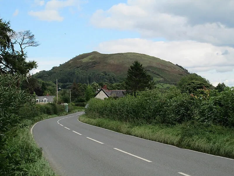
WalesLlwyn Bryn-Dinas is an Iron Age hillfort on the north side of the Tanat valley, about 1.6 km (1 mi) west of the village of Llangedwyn, in Powys, Wales[1]. The hillfort features a single rampart enclosing approximately 3 hectares (7.4 acres), measuring about 264 metres (866 ft) north to south and 204 metres (669 ft) east to west[1]. The fortification follows the natural contours of a prominent hill and has a simple inturned entrance on the south-east side[1]. Archaeological excavation in 1983 revealed the site was first occupied during the Bronze Age, with evidence of continued use into the Iron Age[1].
Llwyn Bryn-Dinas
| Type | Fortress/citadel |
|---|---|
| Period | 3000 - 1500 BC |
| Country | Wales |
| Coordinates | 52.8140° N, 3.2290° W |