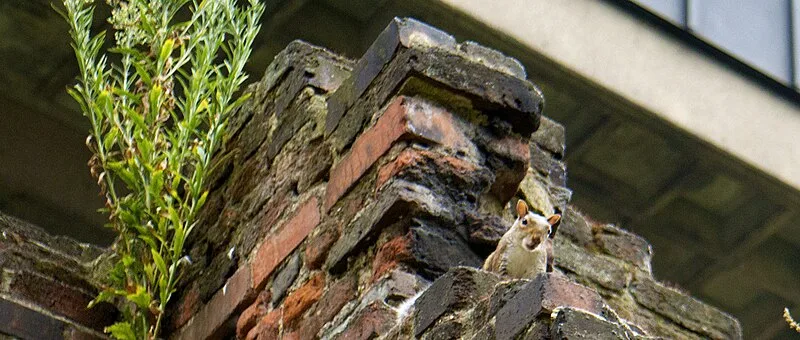
London Wall

London Wall
Charles T. G. Clarke · CC0

The London Wall was a Roman defensive wall first constructed around Londinium around AD 200, following the destructive Boudican revolt of 60–61 AD. [1] The wall enclosed approximately 330 acres of the city, stretching about 2 miles in circumference and reaching heights of 20 feet, with six main gates controlling entry points. [1] An earlier fort at Cripplegate, established around 120–150 AD, was later incorporated into the defensive network. [1] Today, the wall's route is marked by the modern street name London Wall in the City of London. [1]

TypeWall
Period1 - 500 AD
CountryEngland
Coordinates51.5101° N, 0.0800° W

Related resources

More sites in England

Billingsgate Roman House and Baths · Aldgate · Bishopsgate · London Mithraeum · Devil's Highway - Roman Britain · Moorgate · Amphitheatre, London · Fortifications of London · Cripplegate · Aldersgate · Newgate · Ludgate · Watling Street · Keston Roman Villa · Richmond Park · Loughton Camp · Crofton Roman Villa · Ambresbury Banks · Pilgrims' Way · Harrow Way · Foxholes, Hertford · Grim's Ditch, Harrow · Lullingstone Roman Villa · Welwyn Roman Baths

All sites in England

Was this page useful?

Keep exploring

Every site on this page sits on the globe, and the people who research them are on the Discord.

3D Globe · Sites by country · Story Archive · Research Library · Weekly Journal · Search