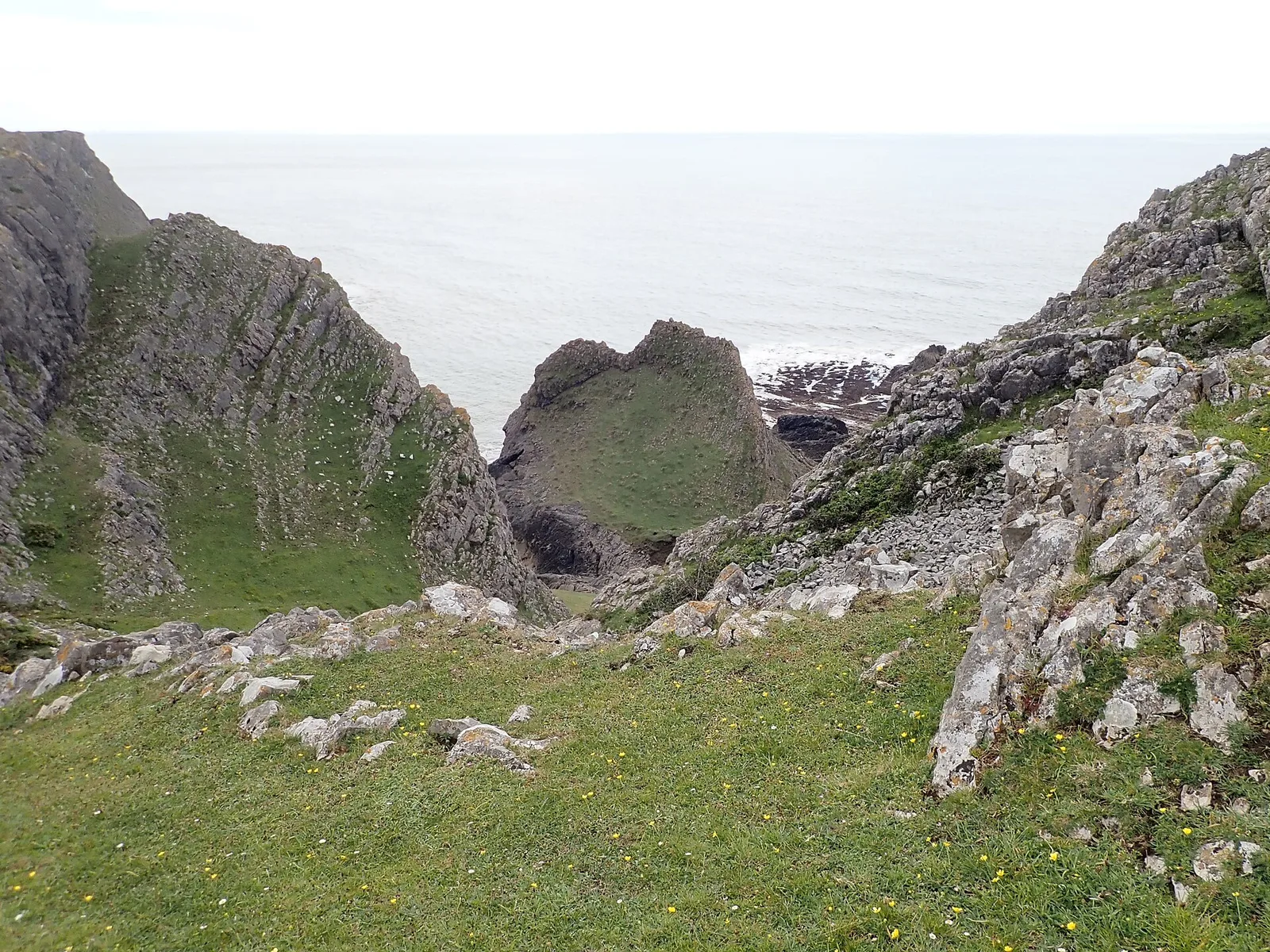
The Knave

The Knave
Graham Taylor · CC BY-SA 2.0

An Iron Age promontory hillfort perched on 60-metre cliffs on the Gower coast near Rhossili, Swansea, Wales. The bivallate (two-rampart) defended enclosure measures approximately 52 m by 44 m internally, with an inner rampart that was internally revetted and fronted by a ditch. Ceramic evidence dates occupation to circa 50 BC - 50 AD, with pottery of Glastonbury type found on site. Excavations in 1938 uncovered a circular structure approximately 3.7 m in diameter along with slingstones, hammer-stones, clay daub, and part of a stone mace. The site is crossed by the Wales Coast Path.

TypeFortress/citadel
Period1500 - 500 BC
CountryWales
Coordinates51.5546° N, 4.2635° W

Related resources

More sites in Wales

Burry Holms · Cefn Bryn · Parc Cwm Long Cairn · Llansteffan Castle · Craig Ty-Isaf · Buarth-y-Gaer · Caer Gwrtheyrn · Y Garn Goch · King's Quoit · Dolaucothi Gold Mines · Foel Drygarn Hillfort · Carn Menyn · Bedd Arthur · Castell Nadolig · Greenala Point Fort · Castell Henllys · Waun Mawn · Pentre Ifan · Banc Du · Foel Chwern · Llyn Fawr · Mynydd Carningli · Carreg Coetan Arthur · Maen Llia

All sites in Wales

Keep exploring

Every site on this page sits on the globe, and the people who research them are on the Discord.

3D Globe · Sites by country · Story Archive · Research Library · Weekly Journal · Search